-
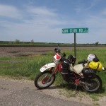
- Goodland, Kansas
-
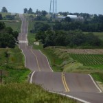
- Topeka, Kansas
-
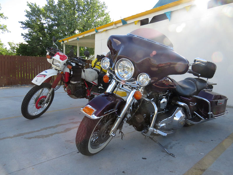
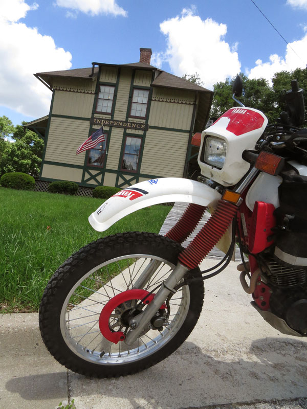
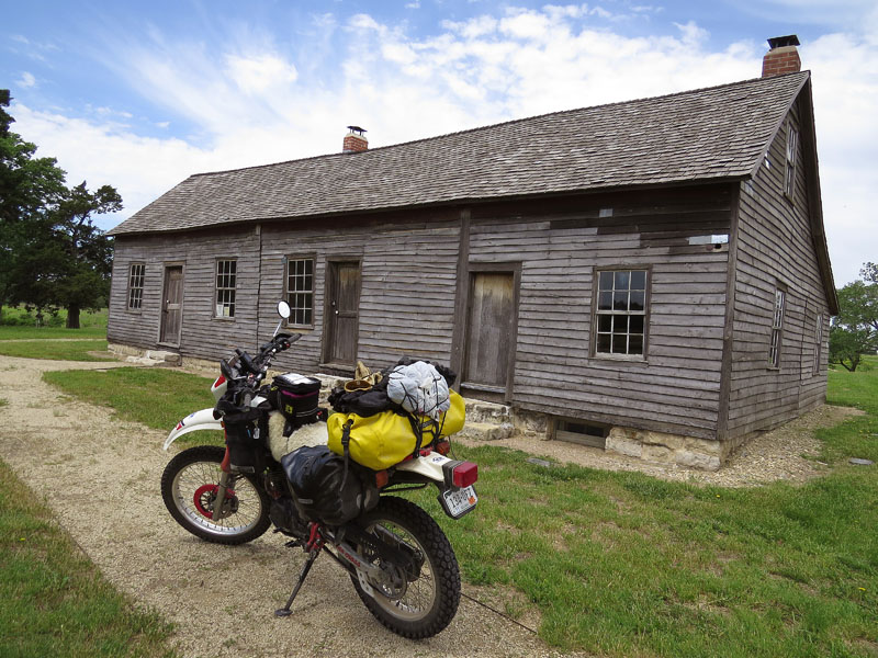
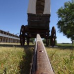
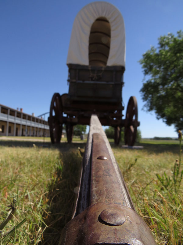
- Independence, Missouri, the starting point of the trip
-
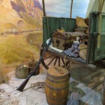
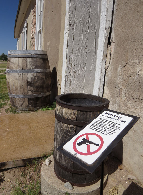
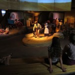
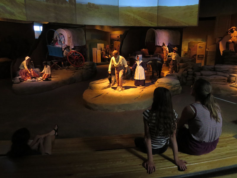
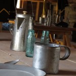
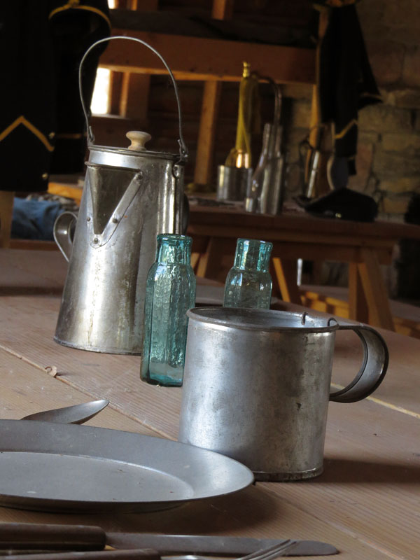
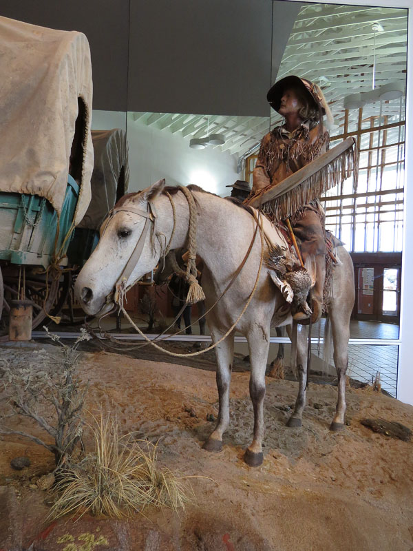
- National Frontier Trails Museum in Independence
-
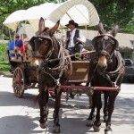
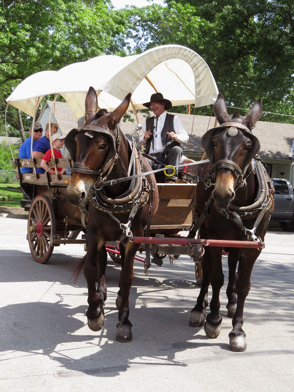
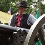
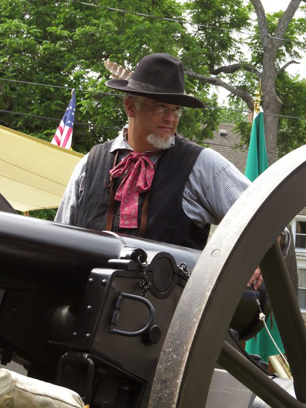
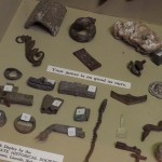
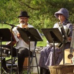
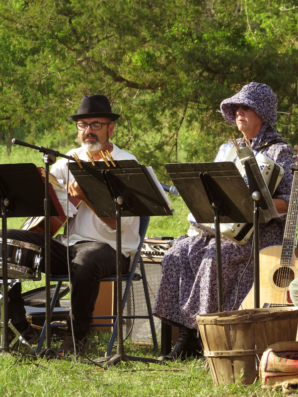
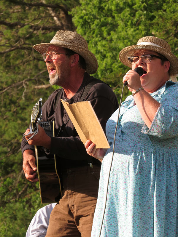
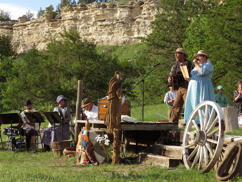
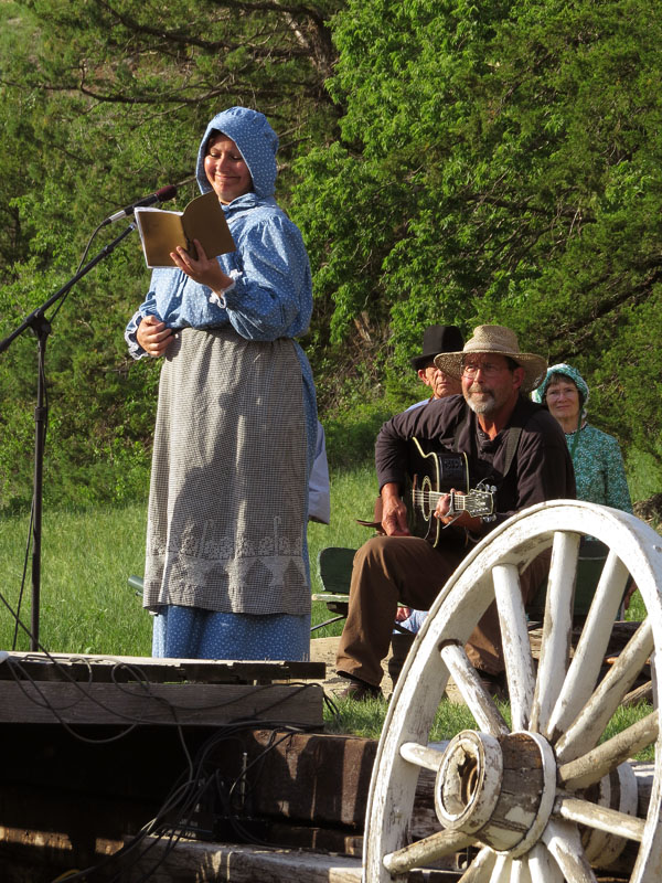
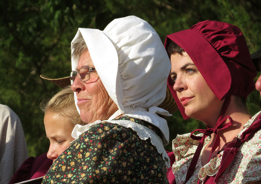
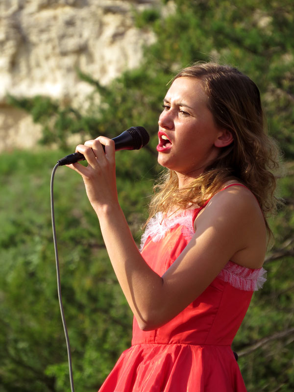
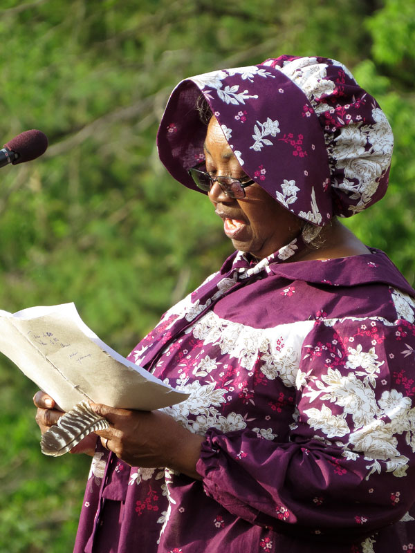
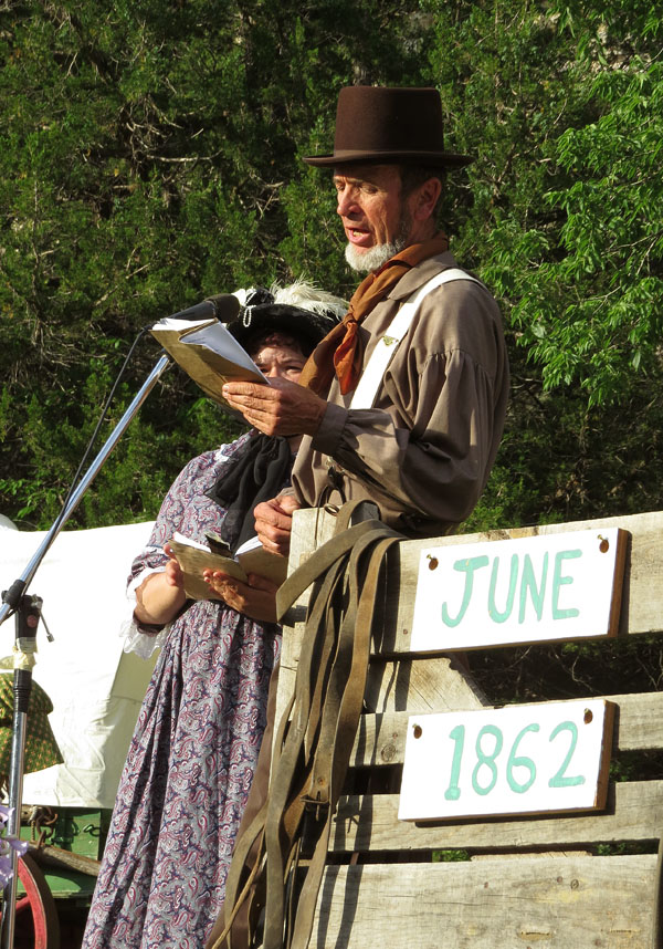
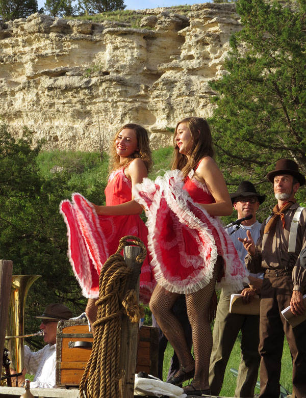
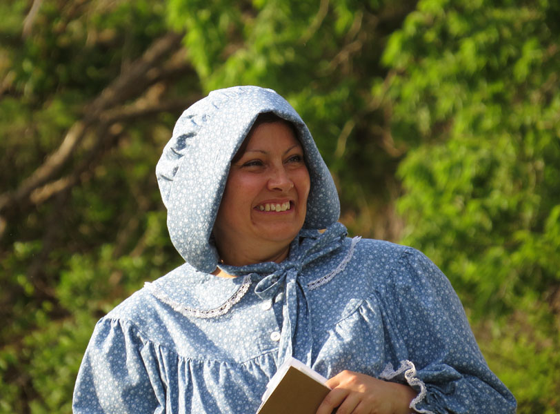
- Civil War Expo, Gardner, Kansas
-
- Civil War Expo, Gardner, Kansas
-
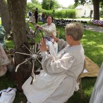
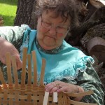
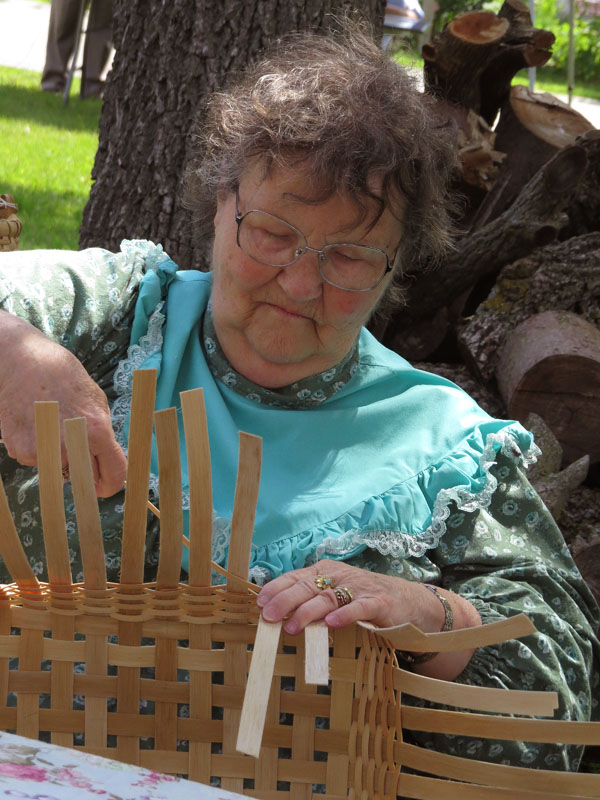
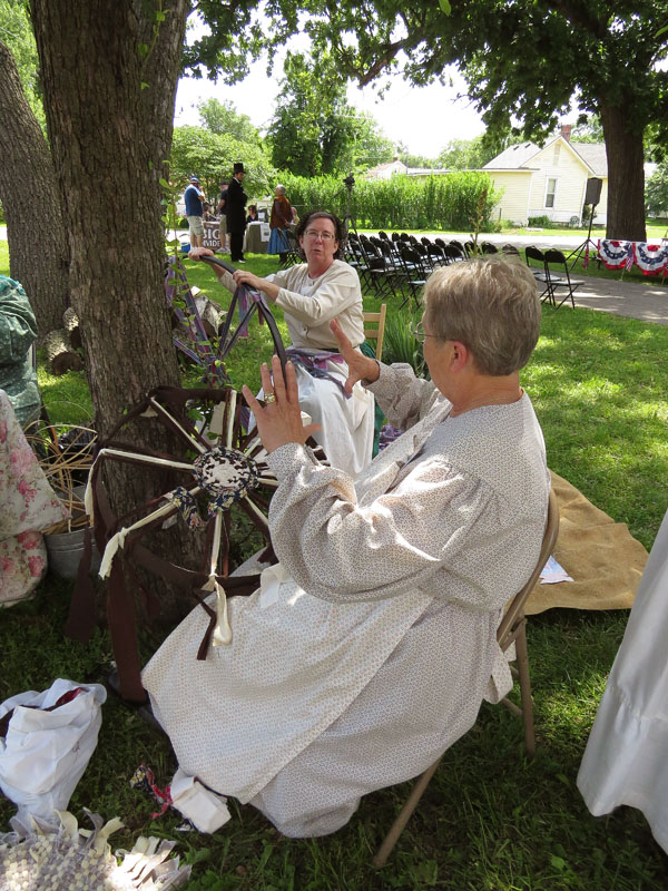
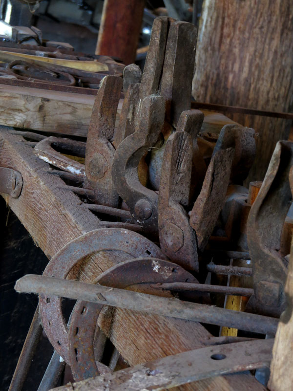
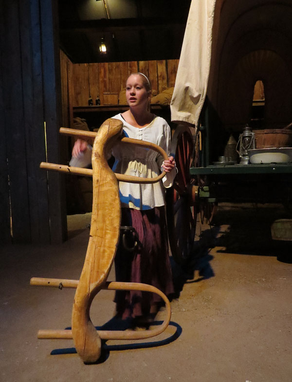
- Making mats on a wagon wheel on the Civil War Expo
-
- Demonstration of firing a rifle on the Civil War Expo
-
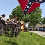
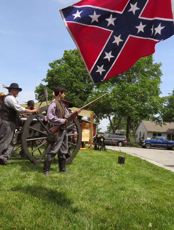
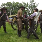
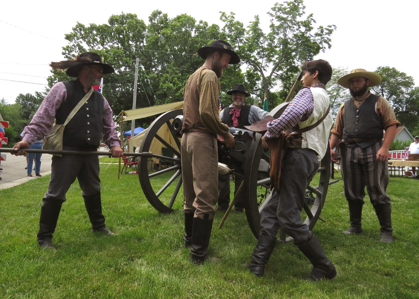
- Demonstration of firing a canon
-
- Demonstration of firing a canon
-

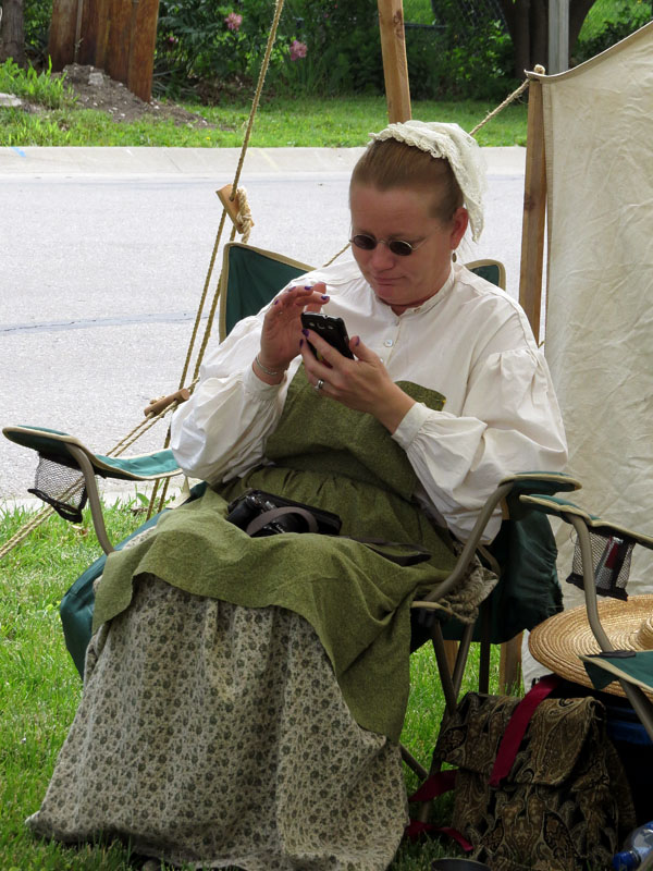
- Anachronism on the Civil War Expo
-
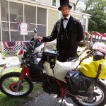
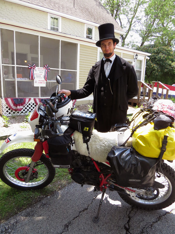
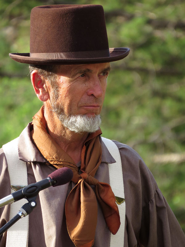
- Abraham Lincoln likes my pack mule
-
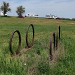
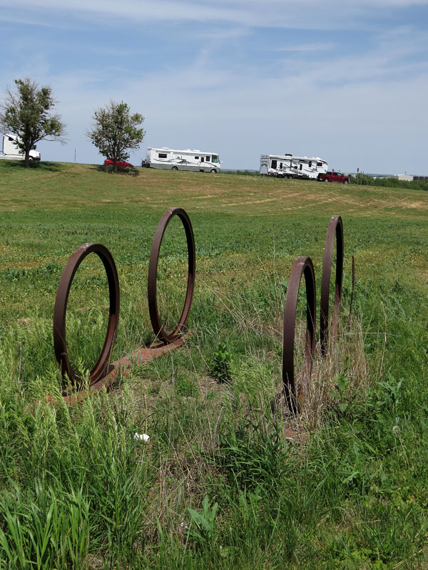
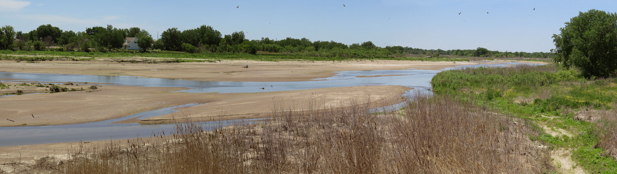
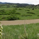
- Vertical bends in Kansas
-
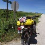
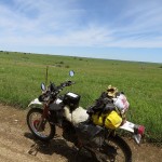
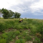
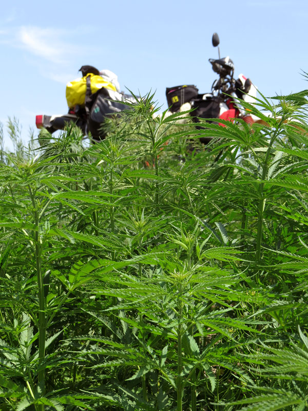
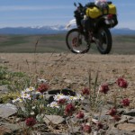
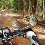
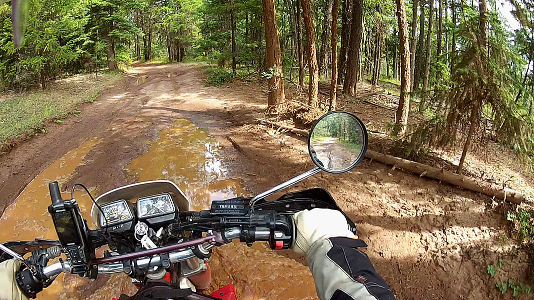
- I think I’m on the right track
-
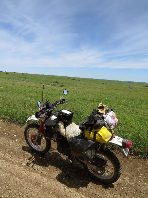
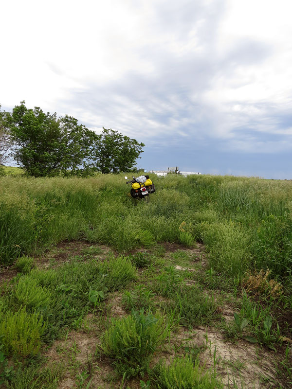
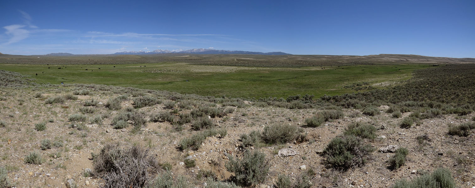
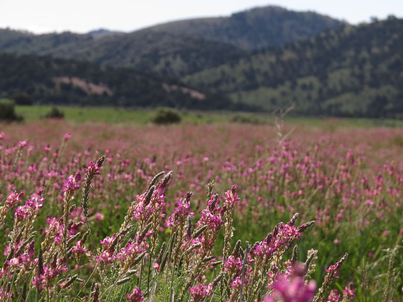
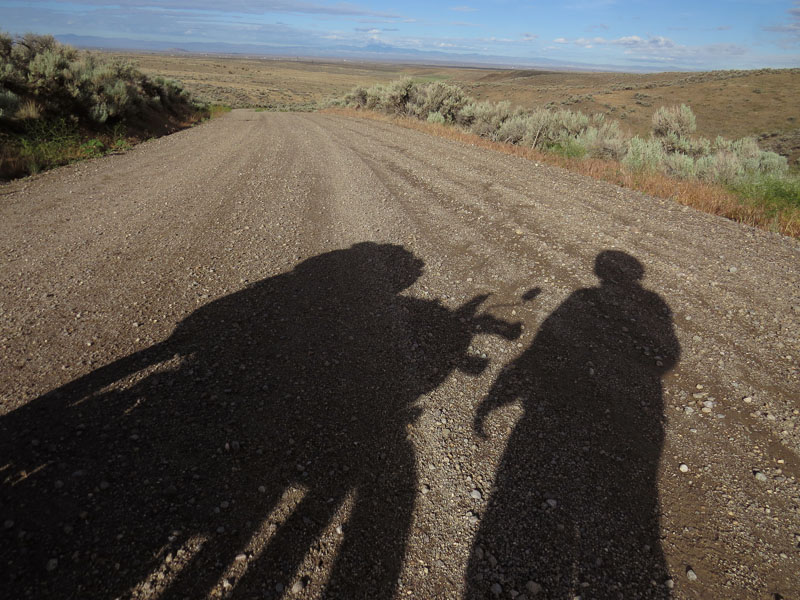
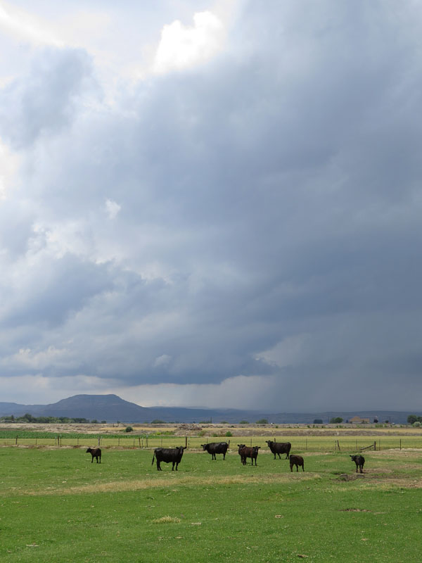
- So this is it, the prairie
-
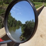
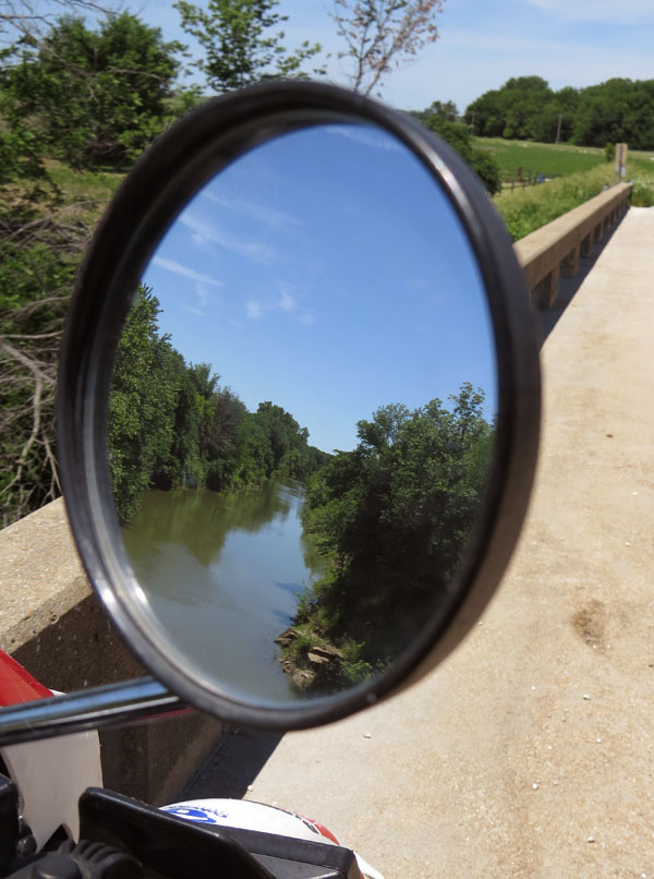
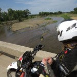
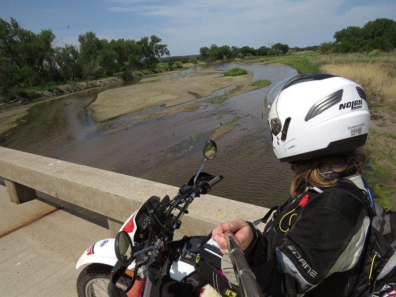
- Red Vermillion River
-
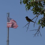
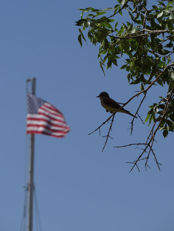
- Welcome to America
-
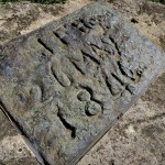
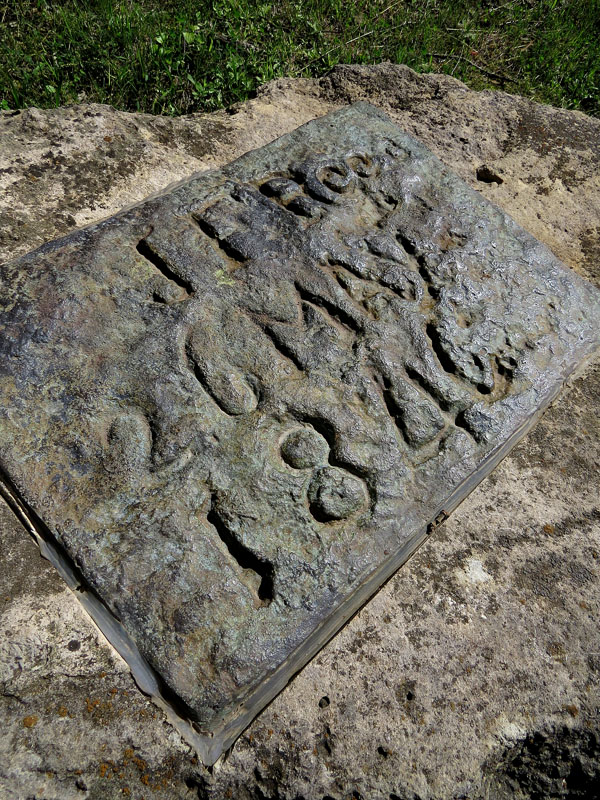
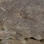
- The stone where James Frazier Reed of the unfortunate Donner Party carved his name in
-
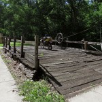
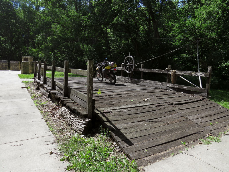
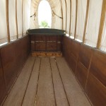
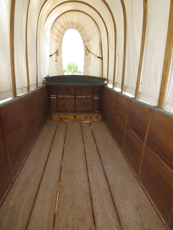
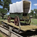
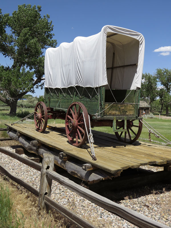
- Illegally parked on a reconstructed ferry
-
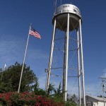
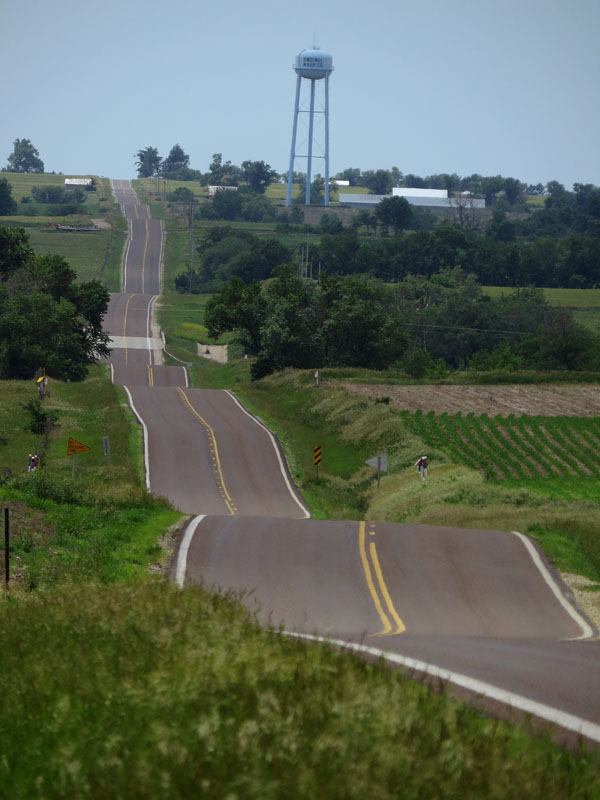
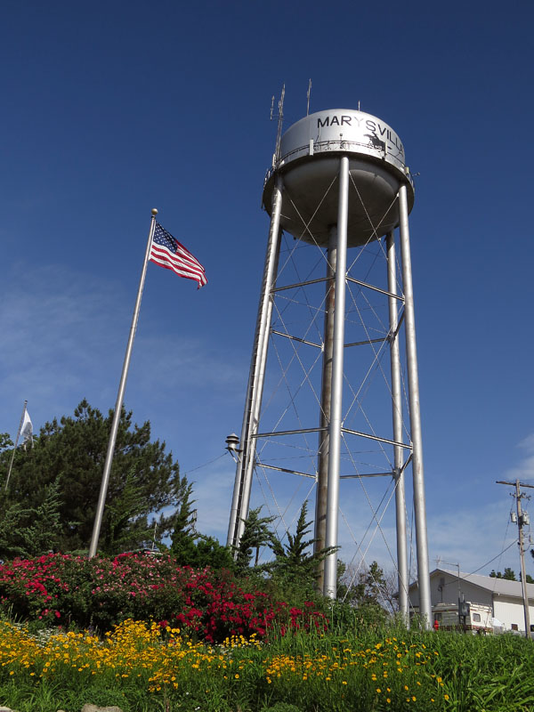
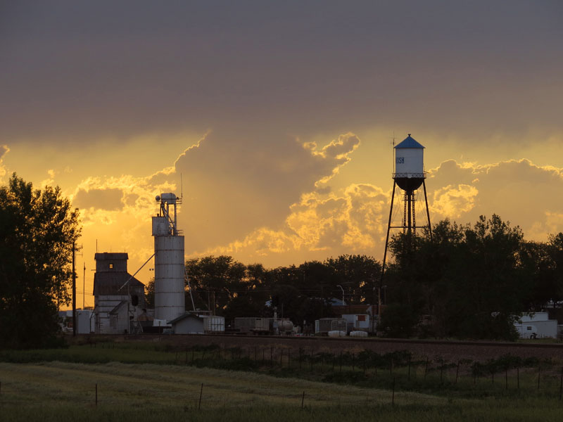
- In Holland we have church towers, on the prairie they have water towers to be able to spot a town from the distance
-
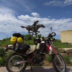
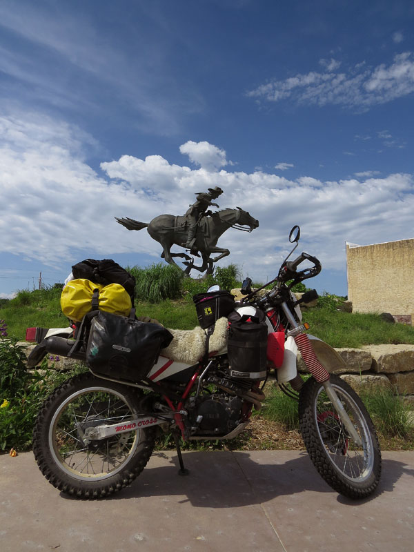
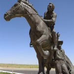
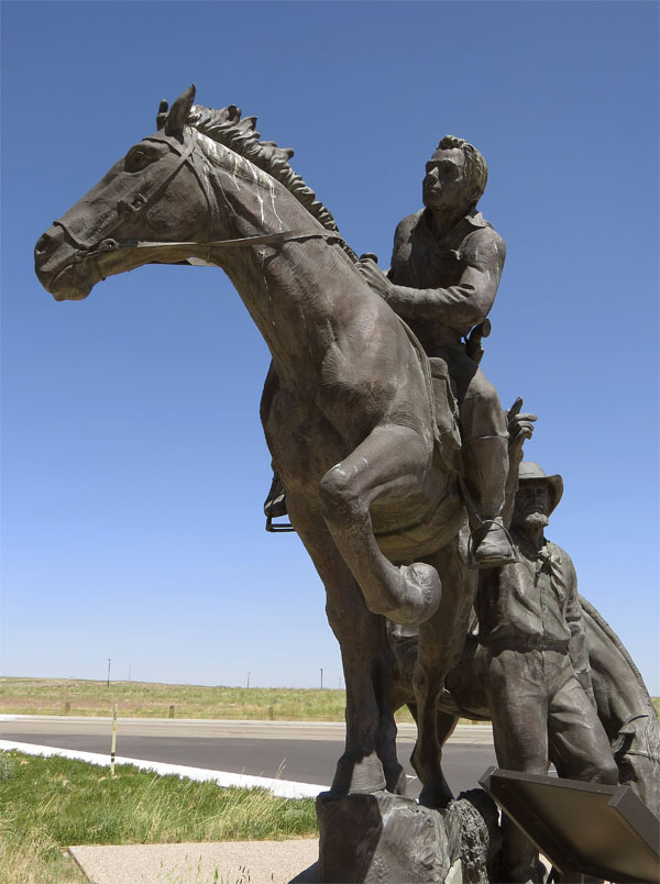
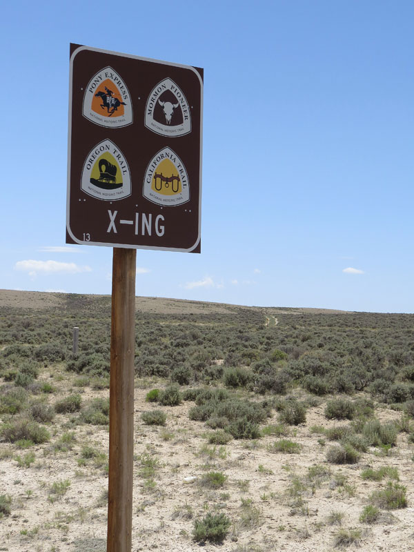
- A statue of a Pony Express rider in Marysville, Kansas. A large stretch of this postal route went over the Oregon Trail
-
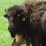
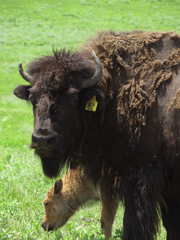
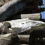
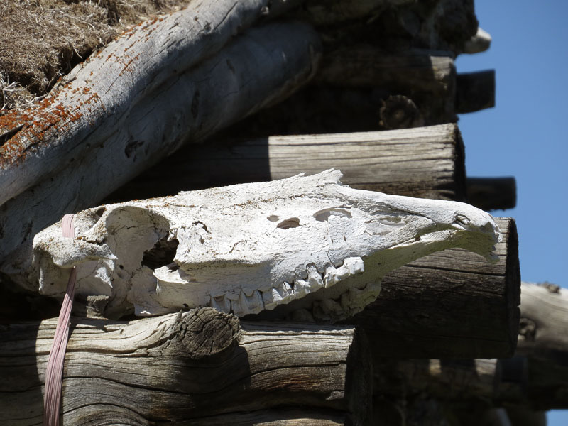
- Emigrants saw them in herds of thousands of animals; the buffalo, or bison
-
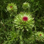
- A musk thistle on the prairie
-
- The Hollenberg Pony Express Station near Hanover, Kansas
-
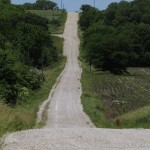
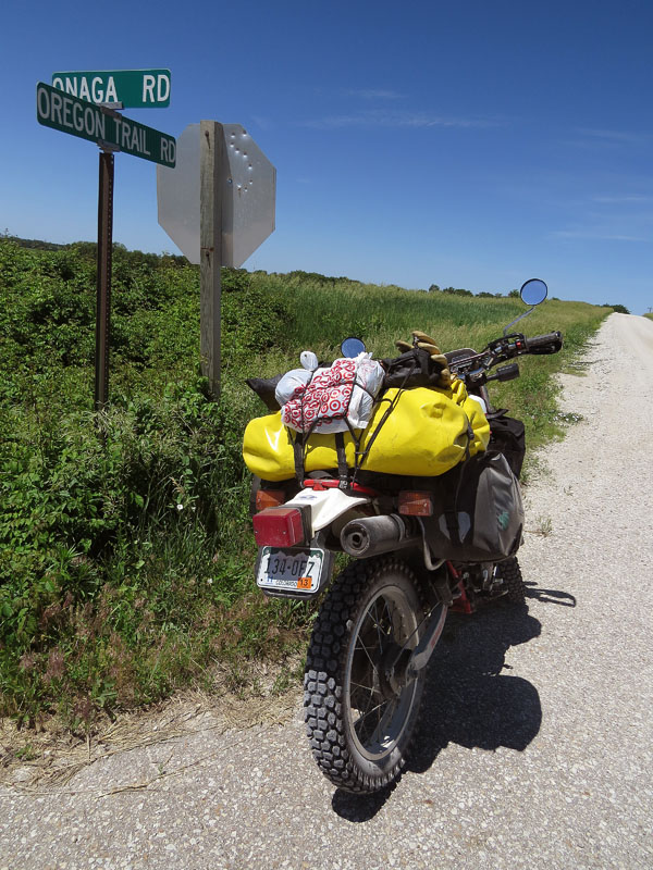
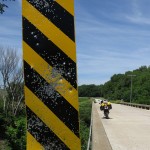
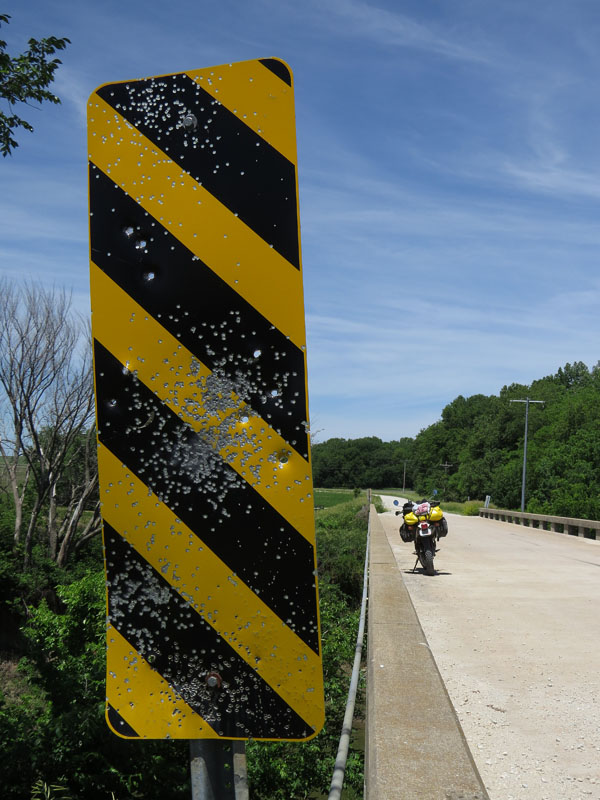
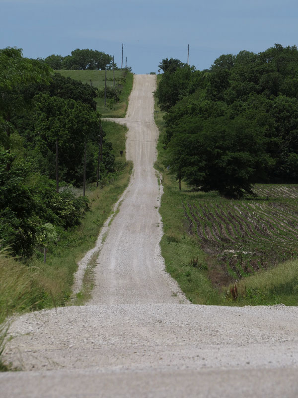
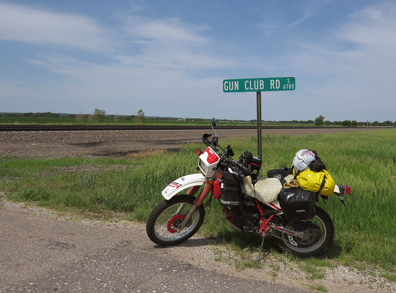
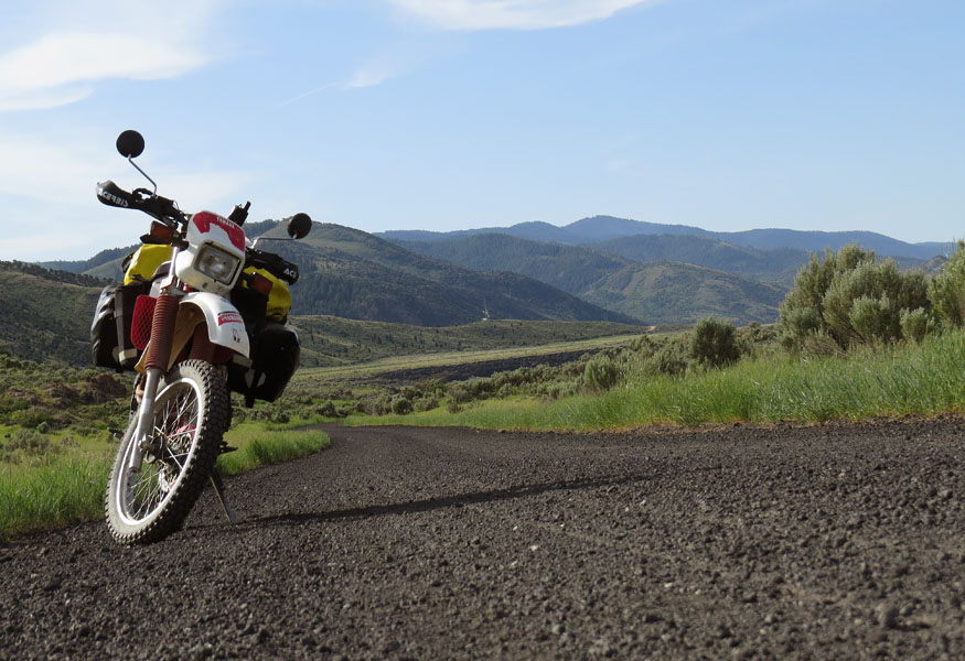
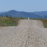
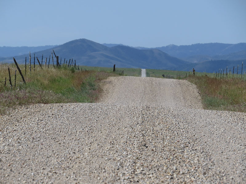
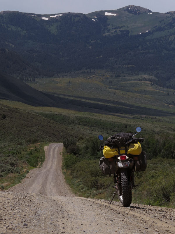
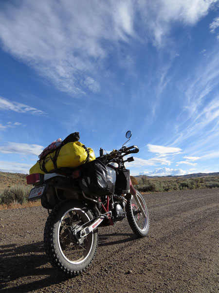
- Gravel road in Kansas
-
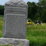
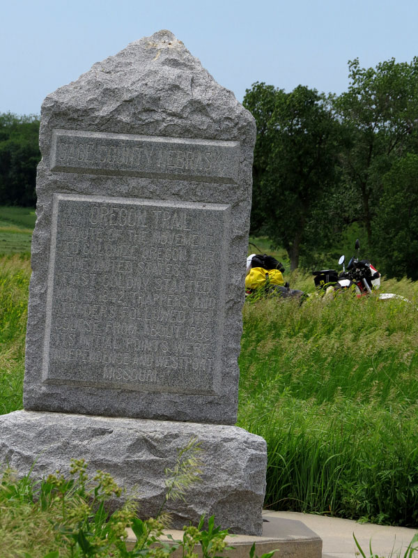
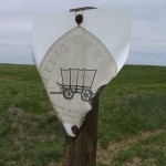
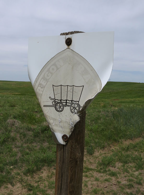
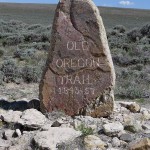
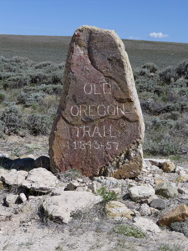
- Oregon Trail marker in Nebraska
-
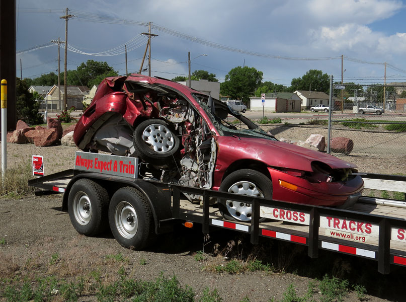
- Oops…
-
- Pony Express Station in Nebraska
-
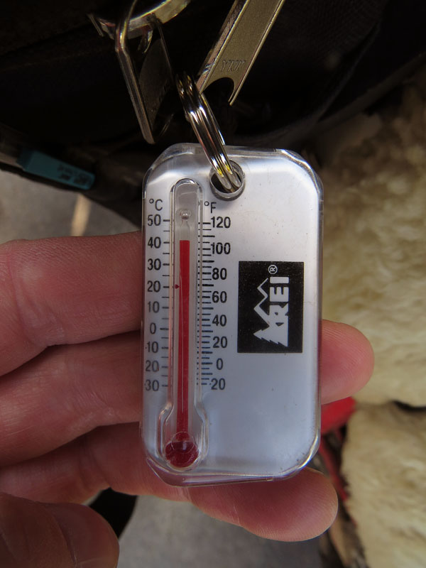
- Twix at a 100 degrees (40 graden)
-
- Nebraska
-
- Nebraska
-
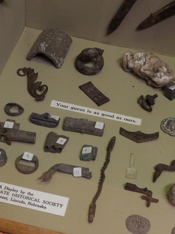
- Fort Kearny museum; sometimes even the experts have no idea
-
- Blacksmith shop in museum Fort Kearny, Nebraska
-
- Fort Kearny, Nebraska
-
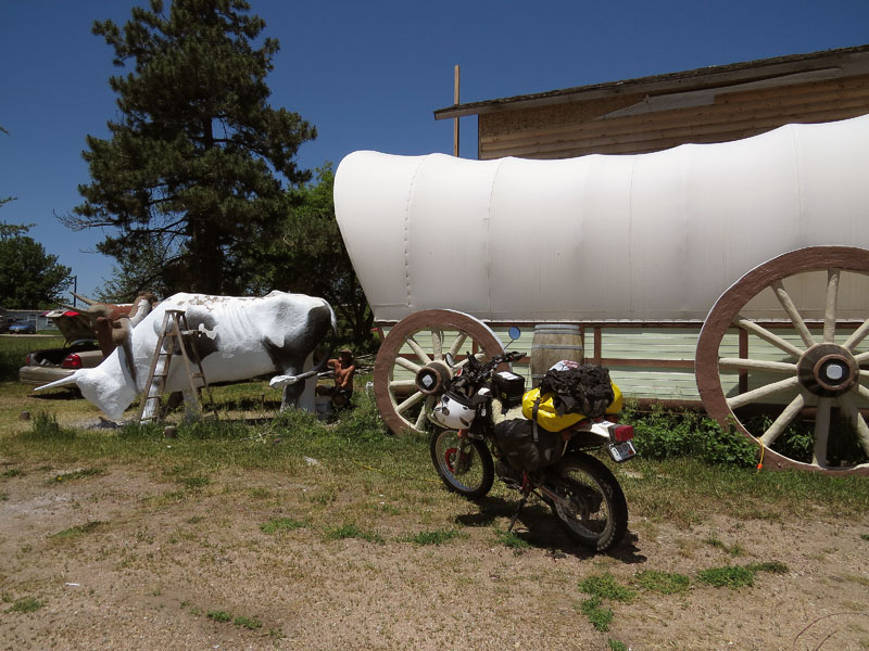
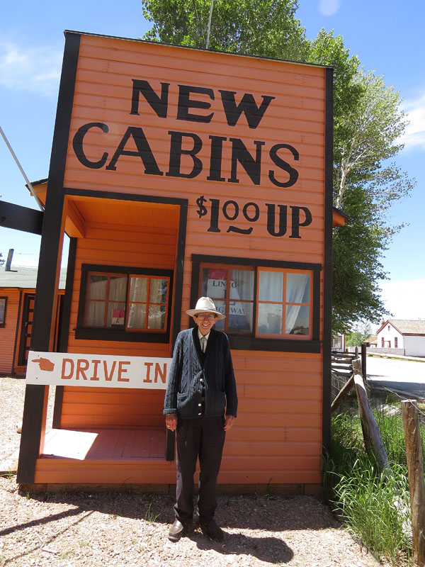
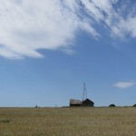
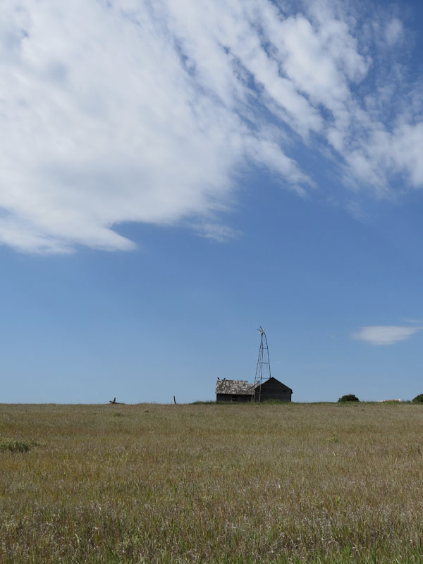
- James is restoring a ‘house’, that’s previously been a gas station and a souvenir shop
-
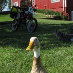
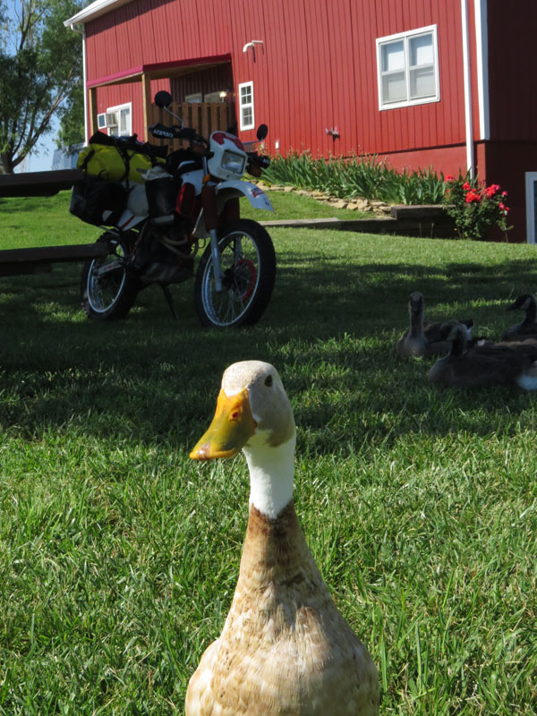
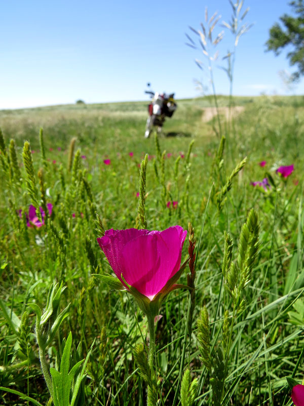
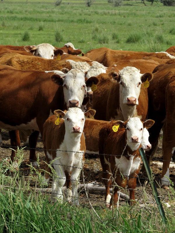
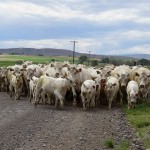
- They’re not afraid of cars, but motorcycles they think are weird
-
- Taking a break somewhere in Nebraska
-
- ‘Too thick to drink, and too thin to plow’ Platte River, Nebraska
-
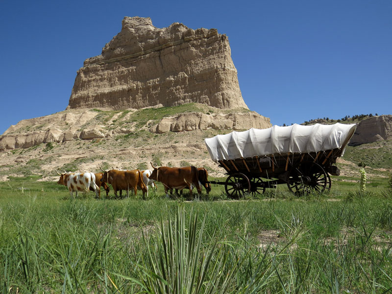
- A monument to commemorate the Old Oregon Trail. In the background modern ‘prairie schooners’
-
- Somewhere along the road in Nebraska
-
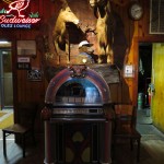
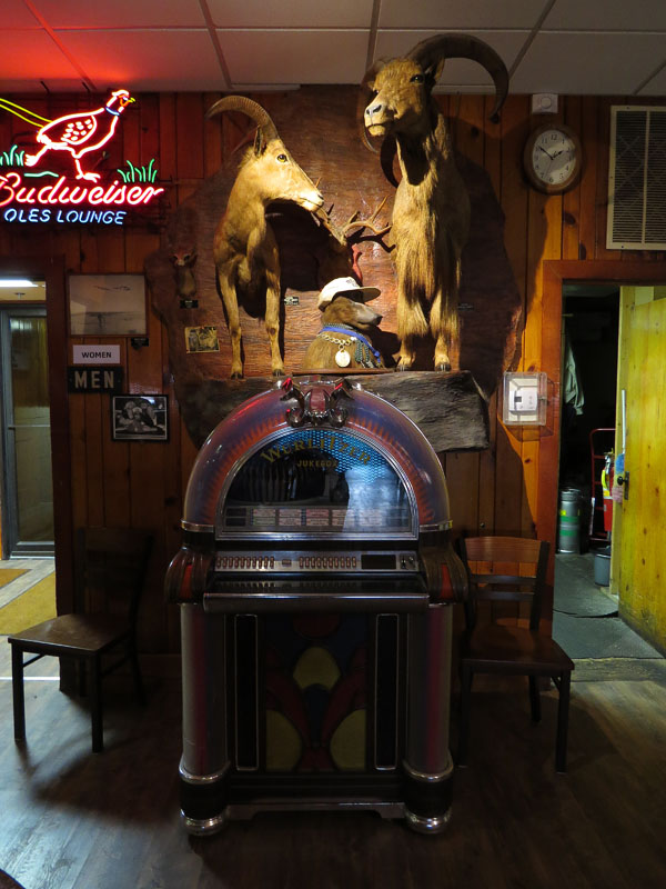
- Ole’s Big Game Saloon, Paxton, Nebraska
-
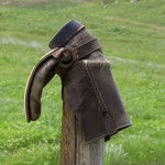
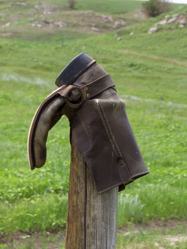
- Often seen in the midwest; old cowboy boots on poles
-
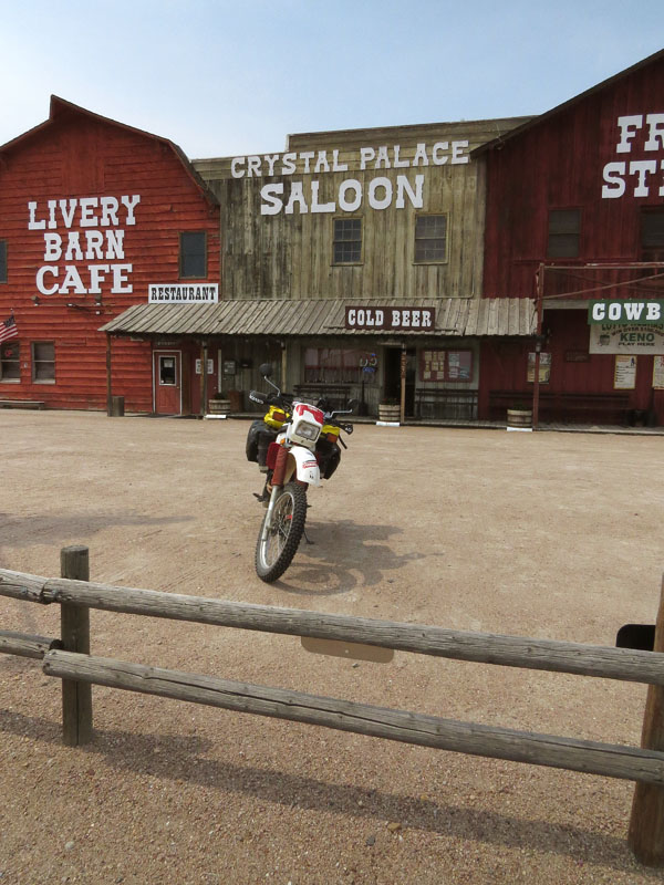
- Before the shootout
-
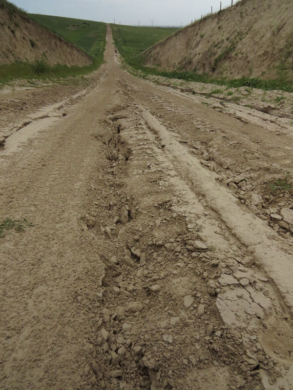
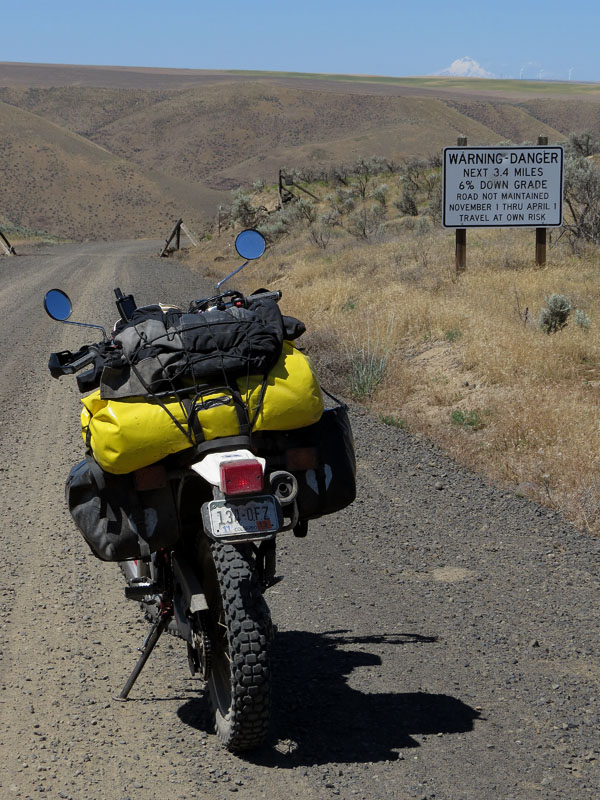
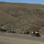
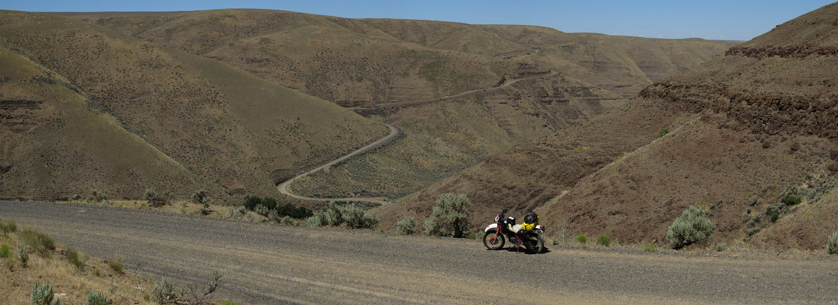
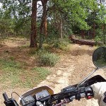
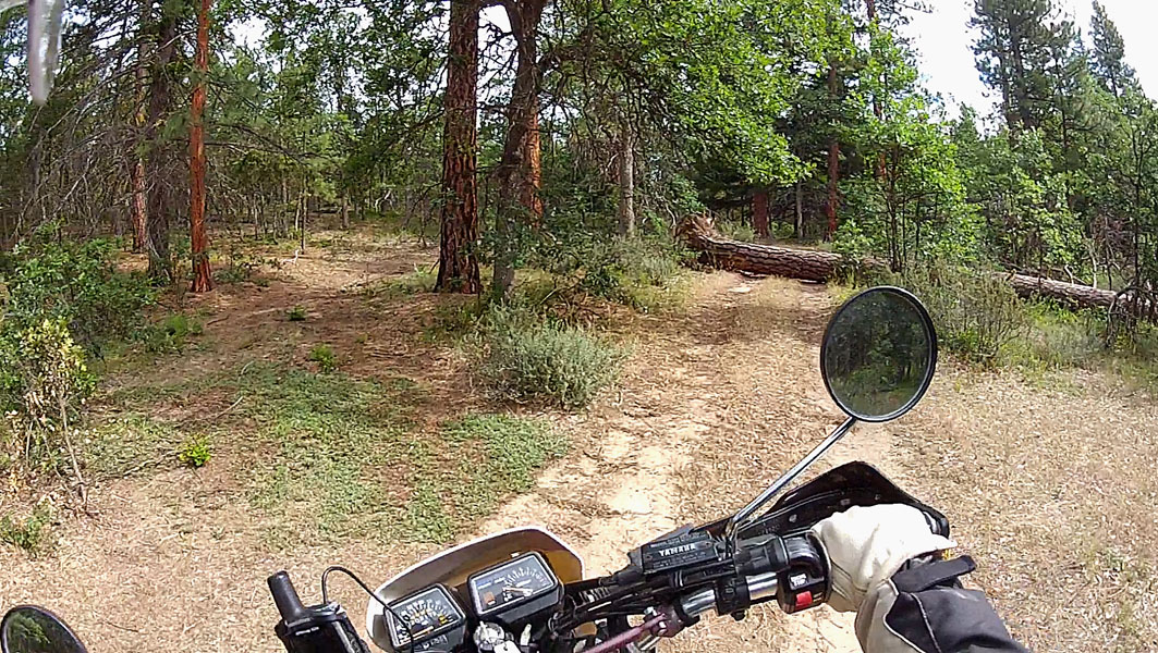
- Not all the roads were nice and smooth
-
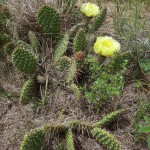
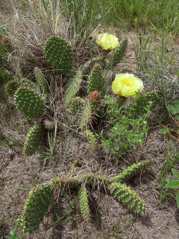
- Many children of immigrants wore no shoes on their journey westward. Because of this plant, the prickly pear, they learned to be careful where they walked
-
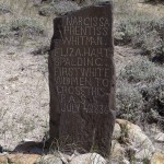
- An old Oregon Trail marker, abused by cattle for many years
-
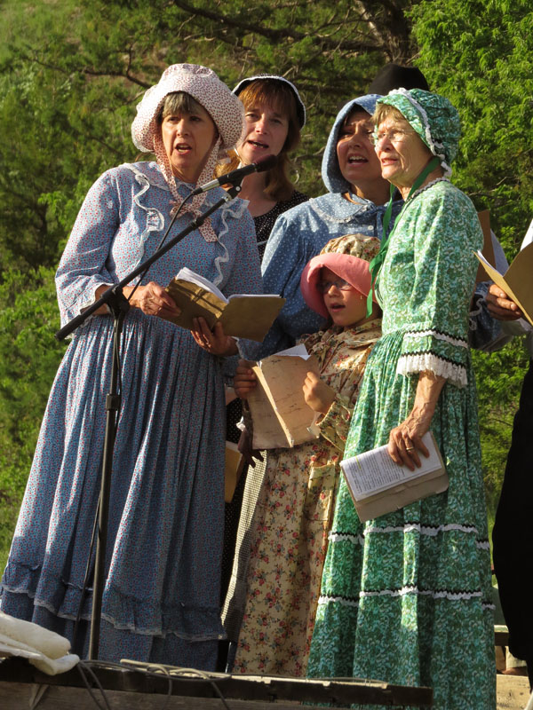
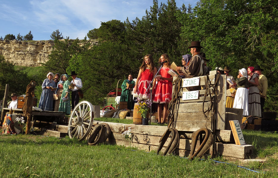
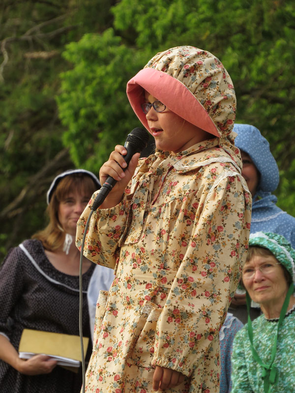
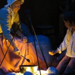
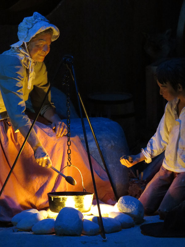
- A pageant about the Oregon Trail, Near Ash Hollow, Nebraska
-
- Sunset in Nebraska
-
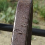
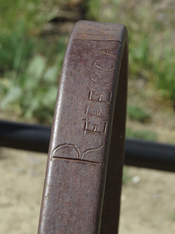
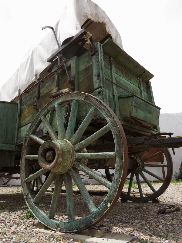
- Emigrants had to be creative. For the marking of the grave of Rebecca Winters an old wagon wheel was used
-

- Traffic education in Nebraska
-
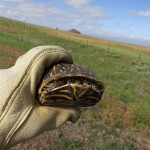
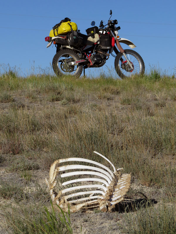
- Turtle in the desert of Nebraska
-
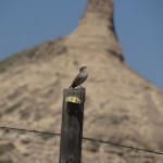
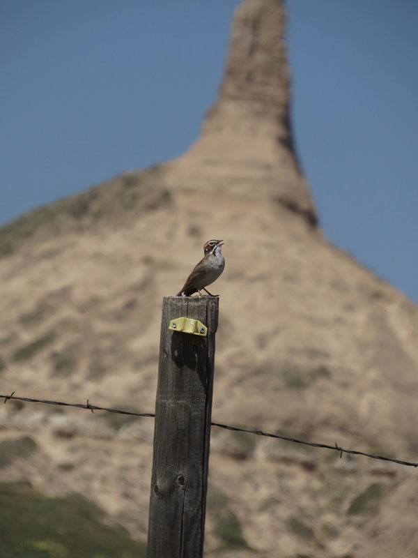
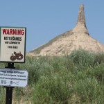
- Lark sparrow in the desert of of Nebraska. Chimney Rock in the background
-
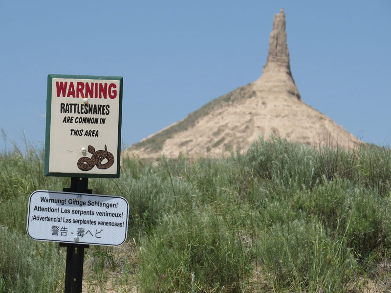
- Chimney Rock, Nebraska
-
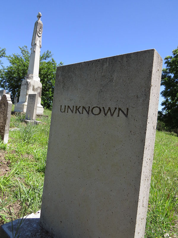
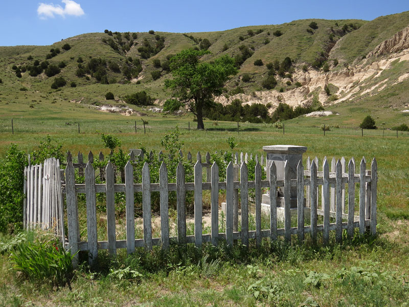
- Grave near Chimney Rock, Nebraska
-
- ‘Prairie schooner’ at Scotts Bluff Monument, Nebraska
-
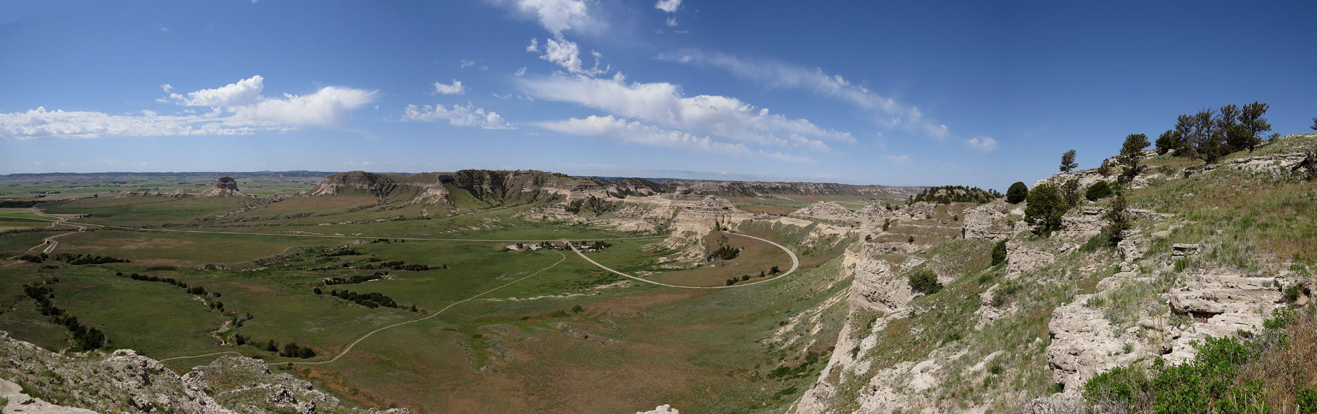
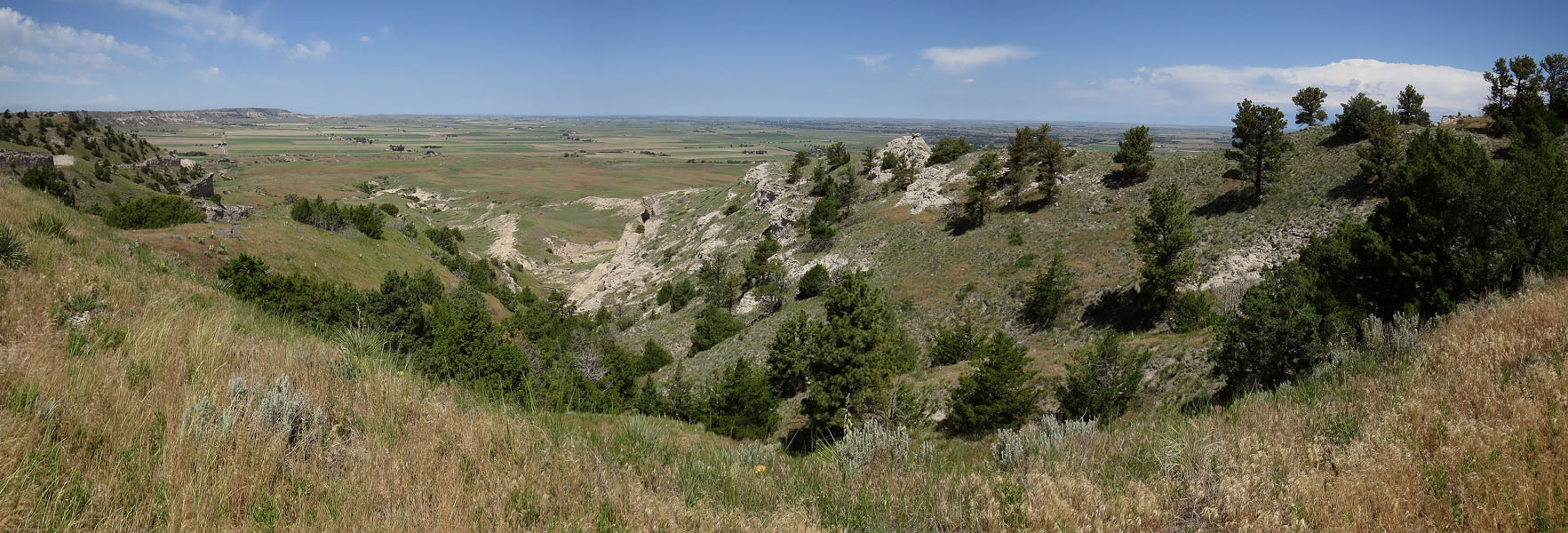
- View from Scotts Bluff National Monument
-
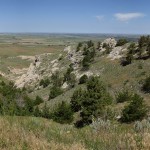
- View from Scotts Bluff National Monument
-
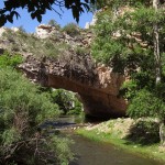
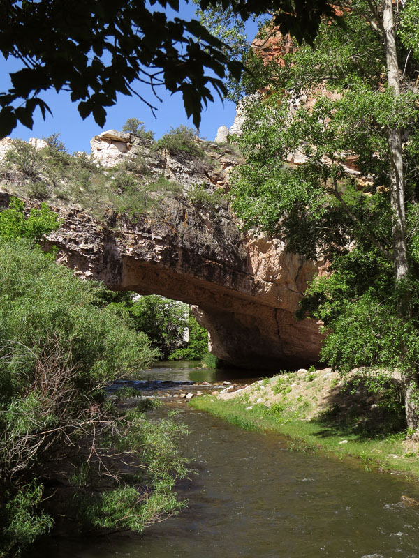
- Natural Bridge, an idyllic spot in the middle of the dry desert of Wyoming. Also a popular camping spot of the emigrants
-
- Natural Bridge, Wyoming
-
- Torrington, Wyoming
-
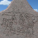
- Monument to commemorate the Grattan Massacre, 1854, where the loss of a cow of an emigrant ultimately resulted in the death of 29 soldiers and their translator
-
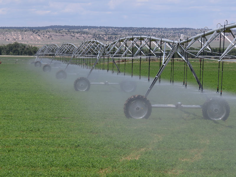
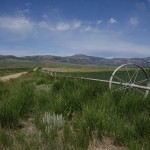
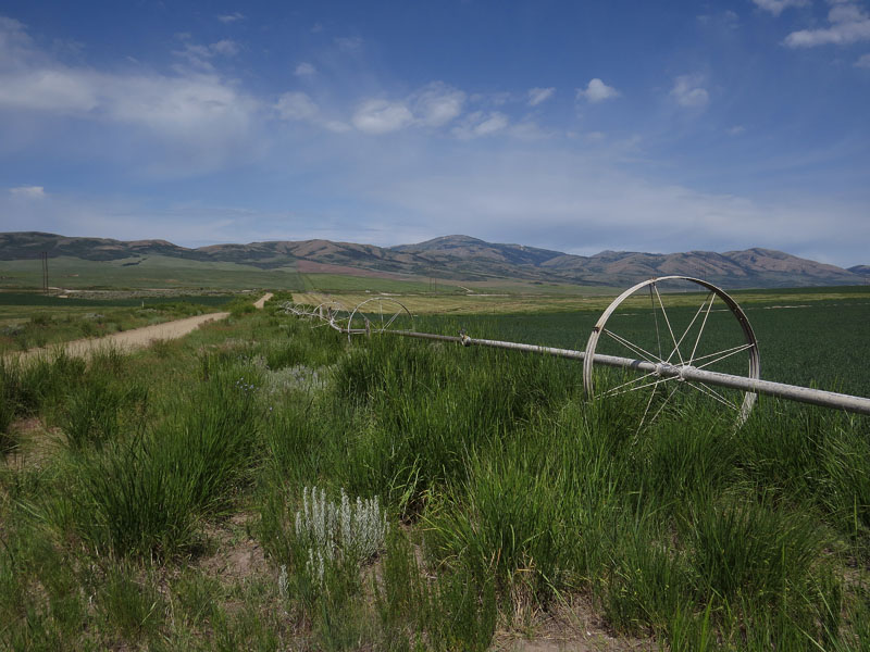
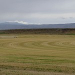
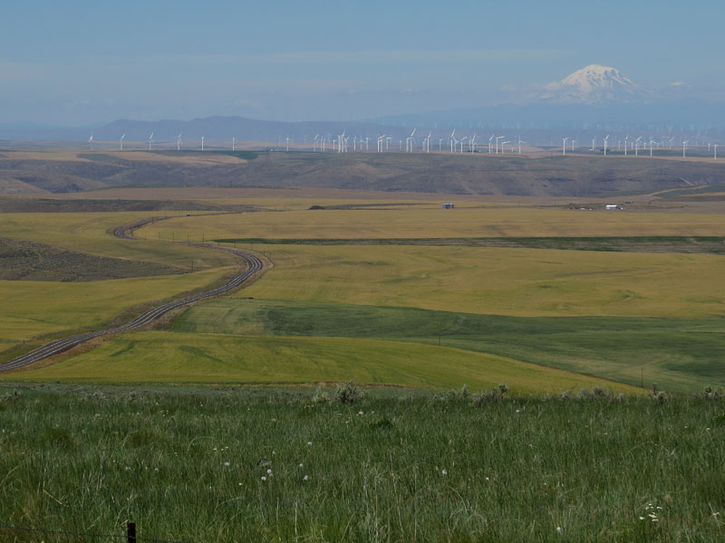
- GPS controlled irrigation on the fields in Wyoming
-
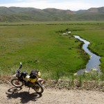
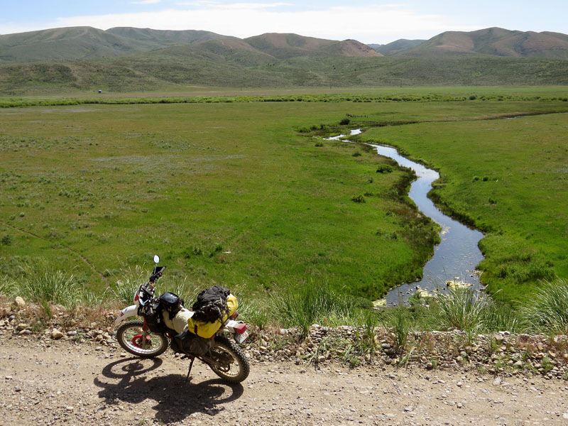
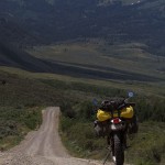
- Somewhere in Wyoming
-
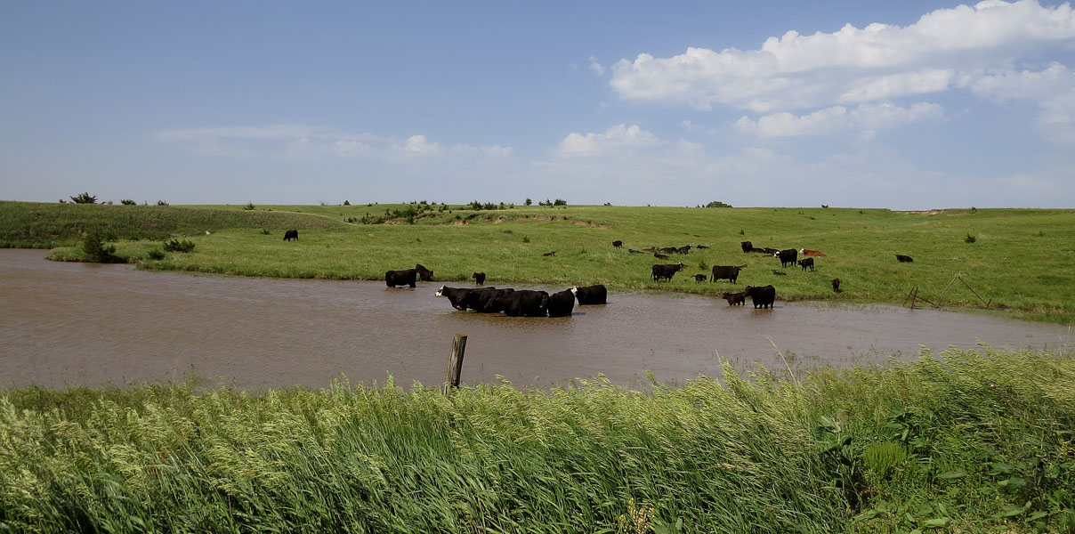
- The River Platte
-
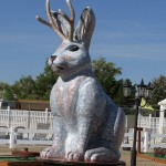
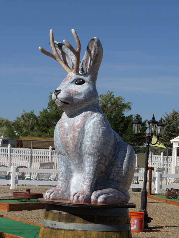
- The jackalope, mythical creature of the western U.S.: a jackrabbit with antlers of an antelope
-
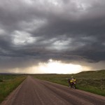
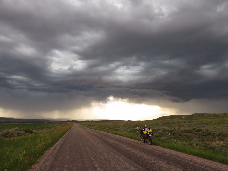
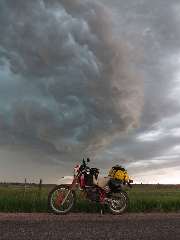
- Bad weather in Wyoming
-
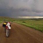
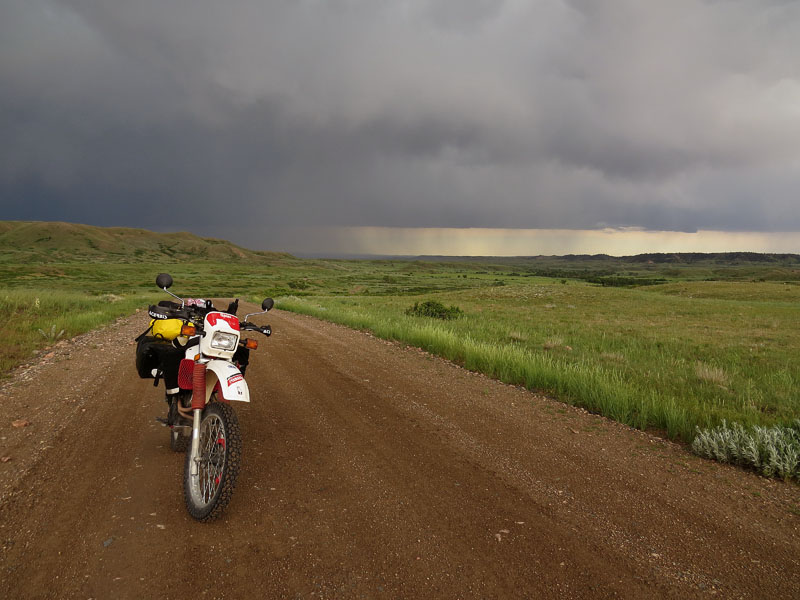
- Leaving the storm behind
-
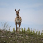
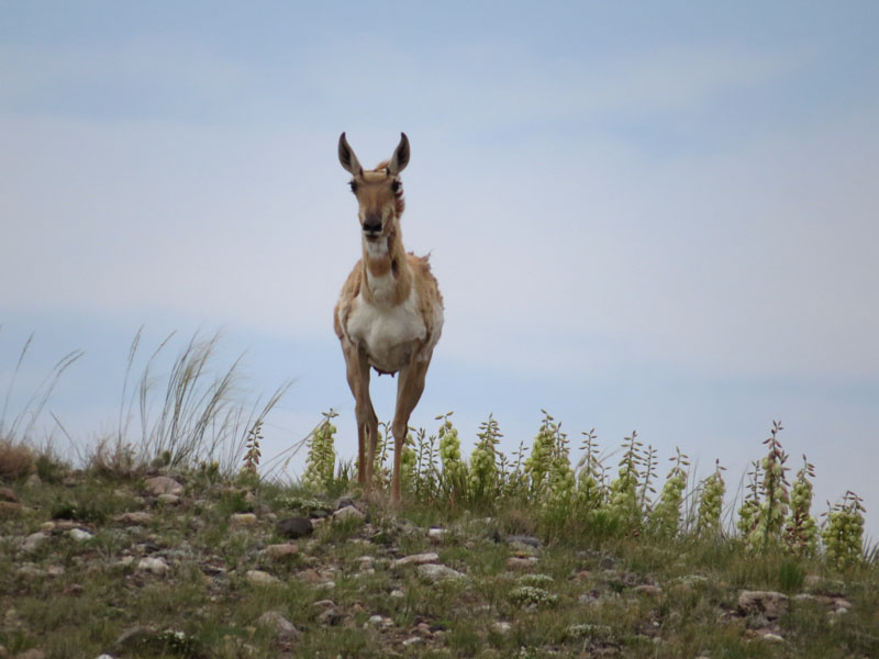
- Een antilope, of pronghorn, watching me from a safe distance
-
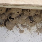
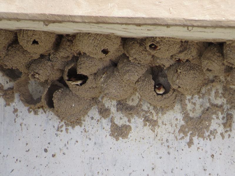
- Swallow nests under a bridge
-
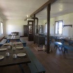
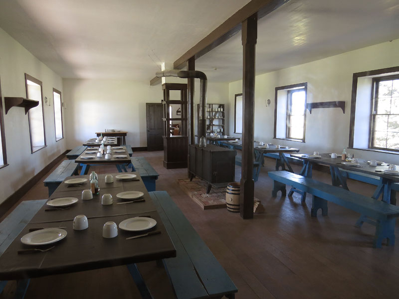
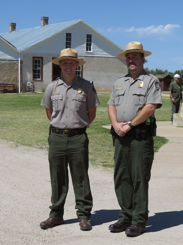
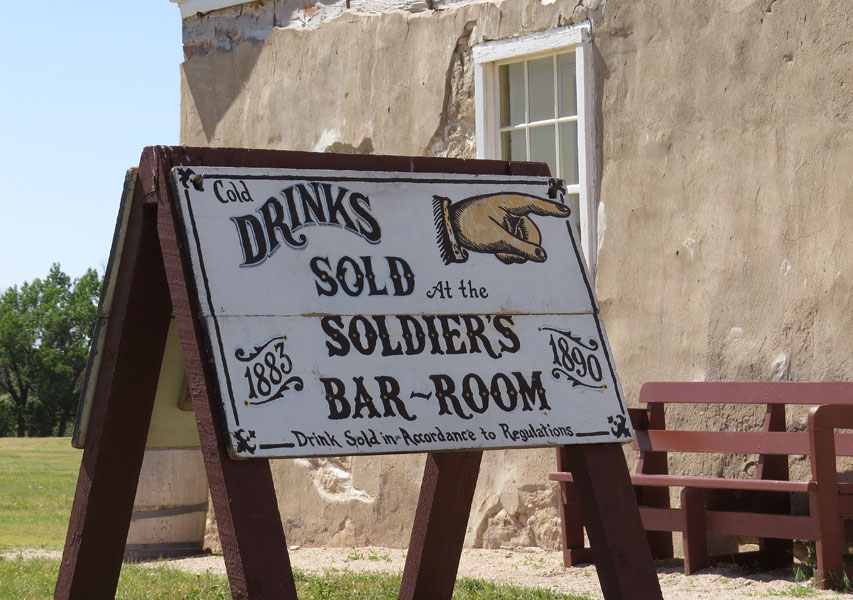
- Fort Laramie, Wyoming
-
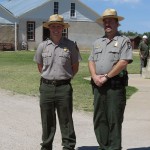
- Fort Laramie, Wyoming
-
- Fort Laramie, Wyoming
-
- U-haul in 1860, Fort Laramie, Wyoming
-
- Fort Laramie, Wyoming
-
- Fort Laramie, Wyoming
-
- Fort Laramie
-
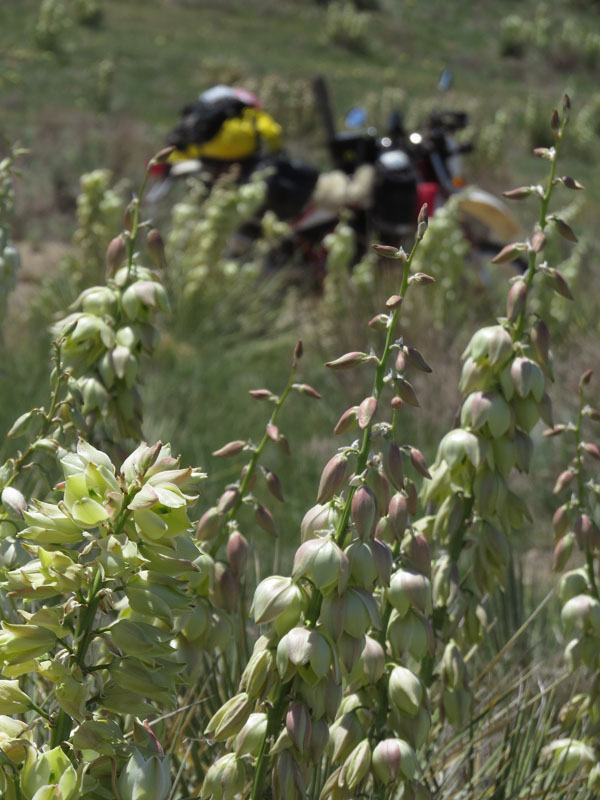
- Yukka country
-
- Black Hills, Wyoming

-
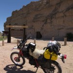
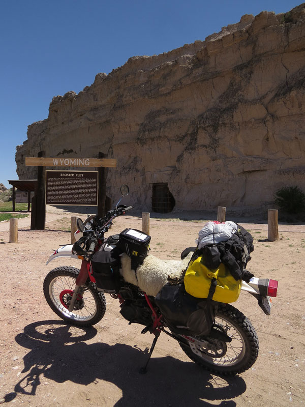
- Register Cliff, Wyoming
-
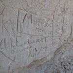
- Register Cliff

-
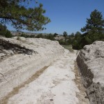
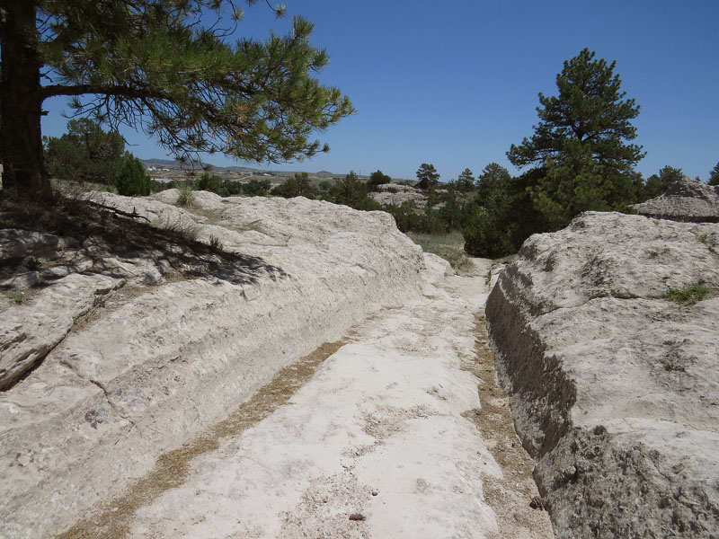
- Deep wagon ruts in Guernsey, Wyoming
-
- Statue at National Historic Trails Interpretive Center in Casper, Wyoming
-
- National Historic Trails Interpretive Center in Casper, Wyoming
-
- National Historic Trails Interpretive Center in Casper, Wyoming
-
- Fort Caspar Museum, Casper, Wyoming
-
- Ferry replica, Fort Caspar Museum, Casper, Wyoming
-
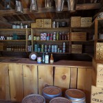
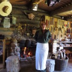
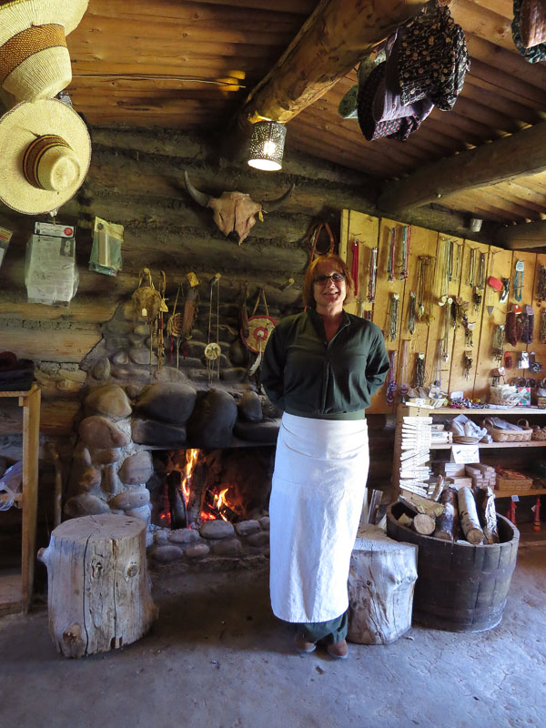
- ‘Suttlers store’ in Fort Caspar Museum in Casper, Wyoming
-
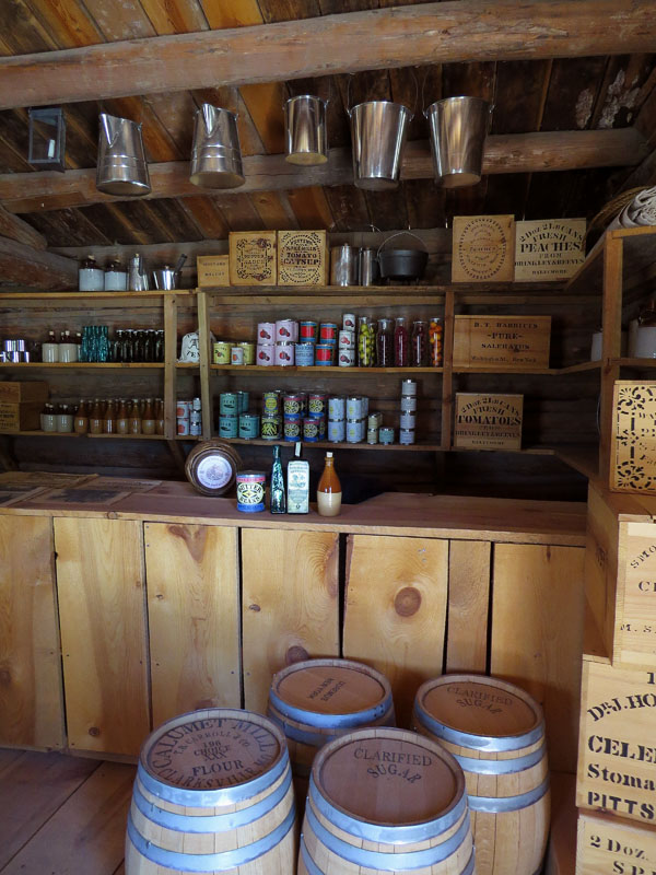
- ‘Suttlers store’ in Fort Caspar Museum in Casper, Wyoming
-
- We all travel in our own way
-
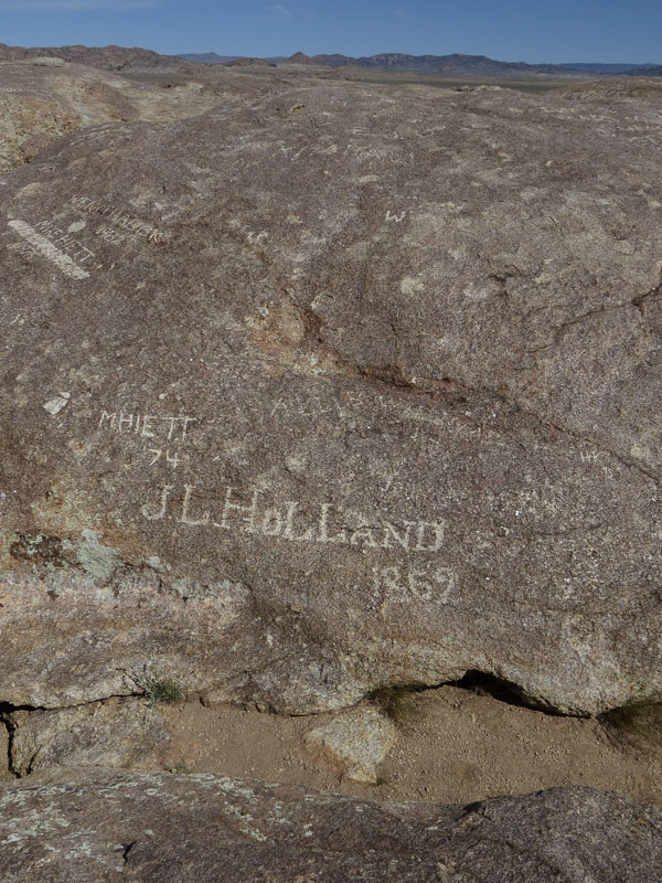
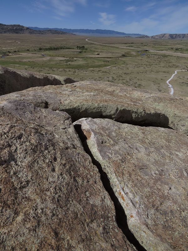
- Names in Independence Rock, Wyoming
-
- View from Independence Rock, Wyoming. If the emigrants would make it to this landmark before the 4th of July, they were on schedule
-
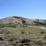
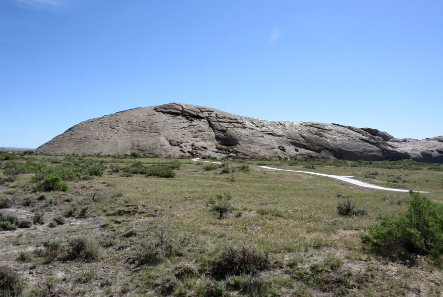
- Independence Rock, Wyoming
-
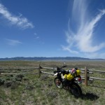
- Empty skies in Wyoming
-
- De Wind River Range is coming closer
-
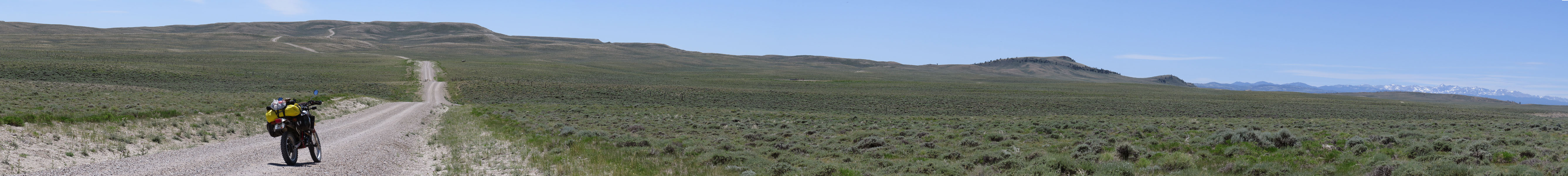
- The Hudson-Atlantic City Road, Wyoming
-
- Subalpine daisy along The Hudson-Atlantic City Road, Wyoming

-
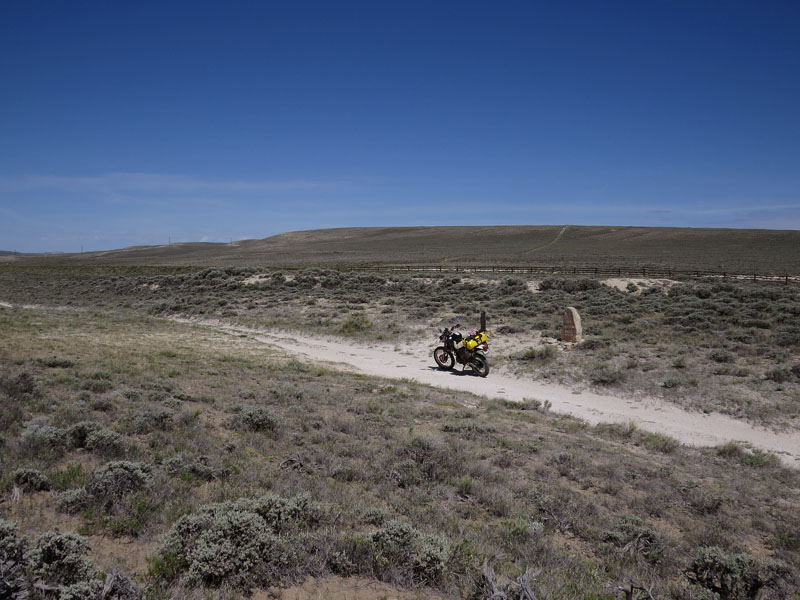
- Marker on South Pass
-
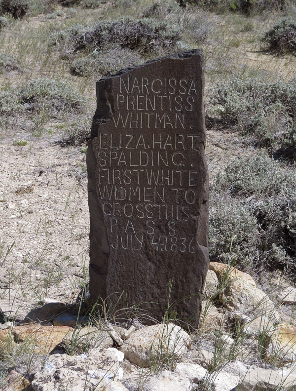
- Stone monument to commemorate the first two white women to cross the continental divide
-
- South Pass, Wyoming, the crossing of the Rocky Mountains at 7,411 feet (2259 meters)
-
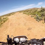
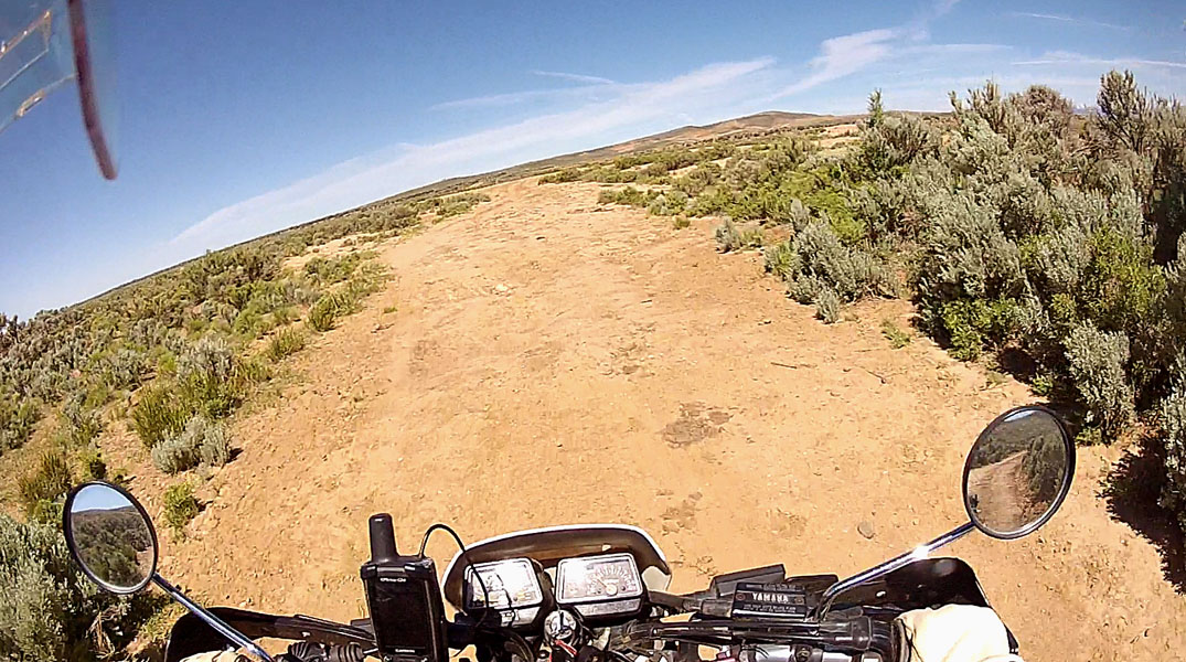
- Off road just after South Pass
-
- Pacific Springs, the Wind River Range in the background
-
- View at Pacific Springs and Wind River Range, Wyoming
-
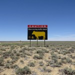
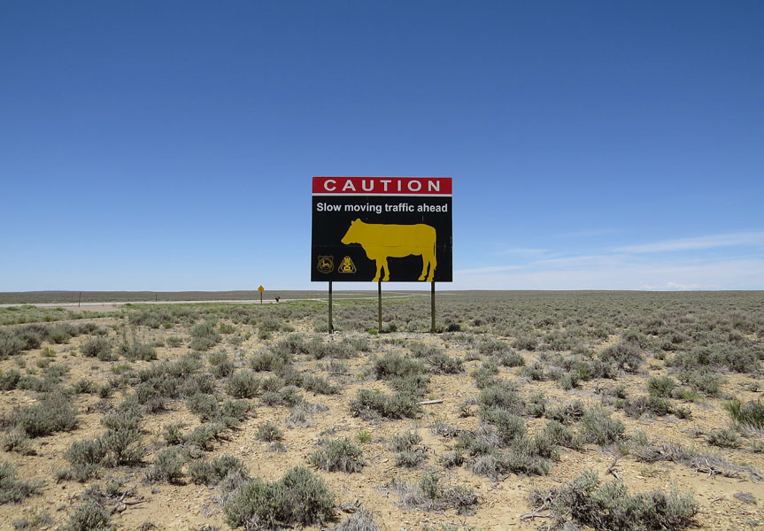
- Just after the town of Farson, Wyoming, it is so empty that even a sign that warns for cattle on the road is a real sight
-
- Lyman, Wyoming
-
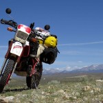
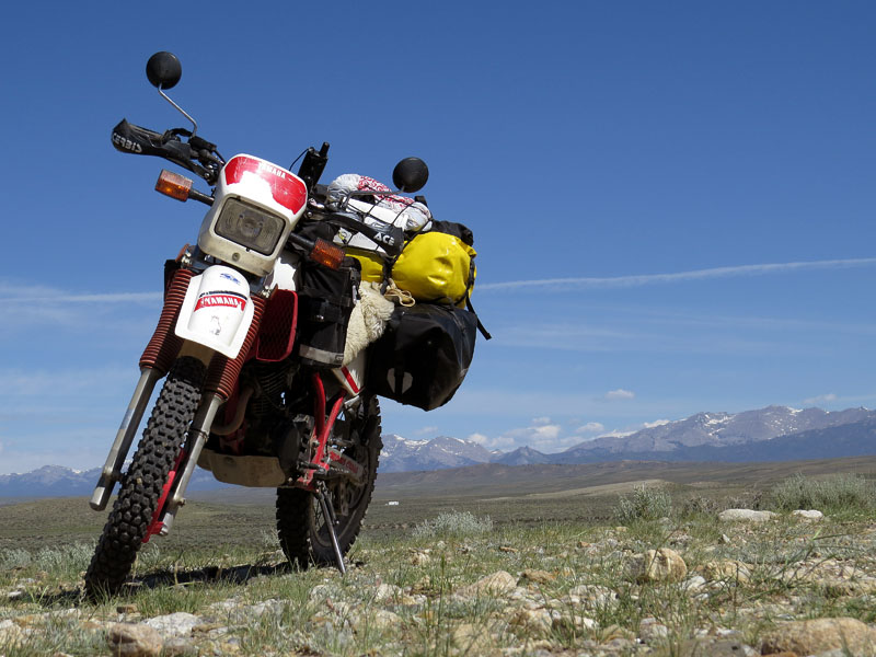
- I’ll take the red and white one
-
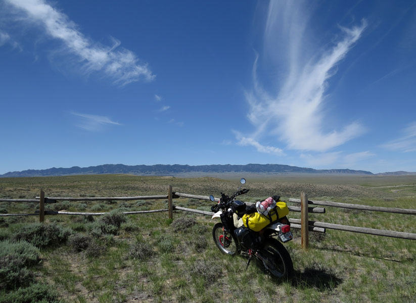
- Fort Bridger, Wyoming
-
- Fort Bridger store
-
- Kelvin Hoover tells me everything about the Black & Orange Lincoln Highway Motel
-
- Some explanation about the 120 pound (55 kilogram) ox yoke
-
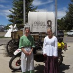
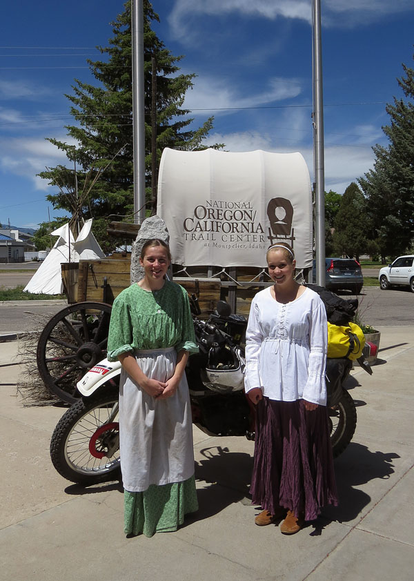
- National Oregon/California Trail Center in Montpelier
-
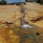
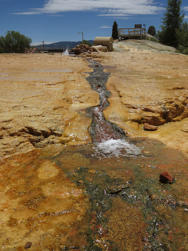
- Geyser in Soda Springs
-
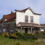
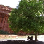
- Deserted house with bad teeth in Idaho
-
- North of Soda Springs, Idaho
-
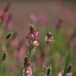
- Finally, some flowers! Pontneuf River valley, north of Soda Springs, Idaho
-
- Pontneuf River valley
-
- Pontneuf River valley, Idaho
-
- Pontneuf River valley, Idaho
-
- Not a bad place to live. Chesterfield Reservoir, Pontneuf valley, Idaho
-
- Pontneuf River valley
-
- Fort Hall Indian Reservation
-
- Fort Hall Indian Reservation
-
- Fort Hall, Pocatello, Idaho
-
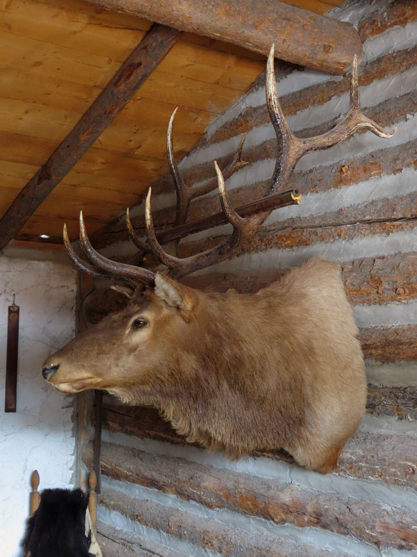
- In the West, this is how you hang your rifle on the wall. Fort Hall, Pocatello, Oregon
-
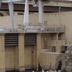
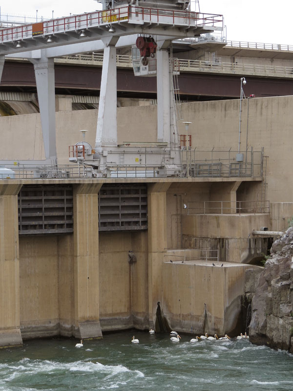
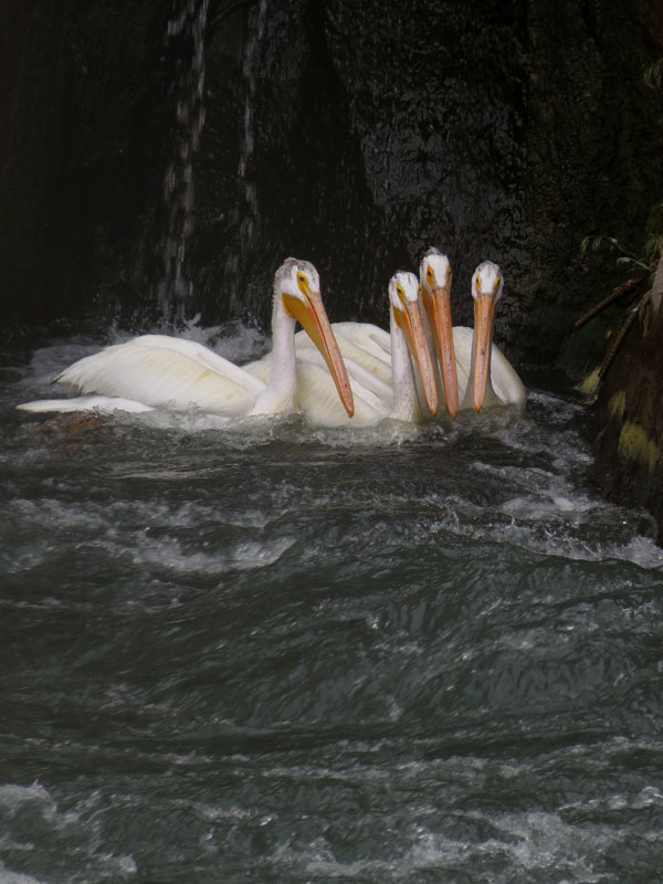
- Pelicans in the Snake River at the American Falls dam, Idaho
-
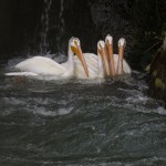
- Pelicans waiting for fish at the narrow passage along the dam at American Falls
-
- In this valley of the Raft River, emigrants had to make a final choice; are we going to Oregon … or California after all?
-
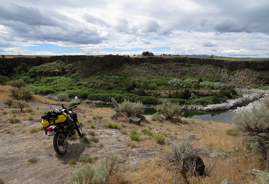
- Caldron Linn, on the north side of the Snake River
-
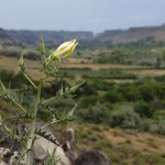
- A northern blazing star. The Snake River valley in the background
-
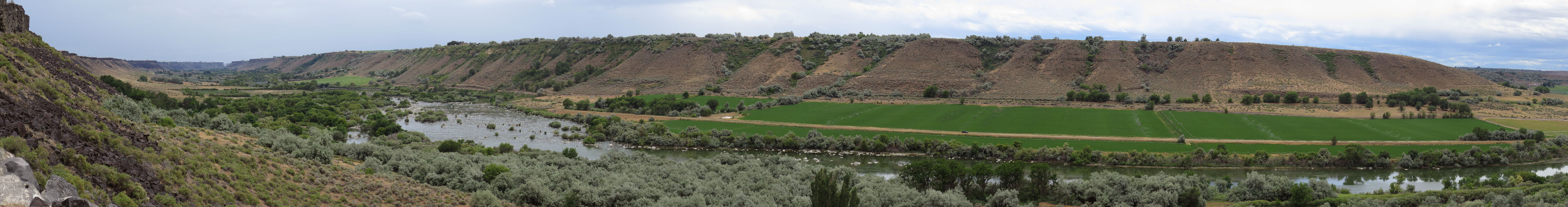
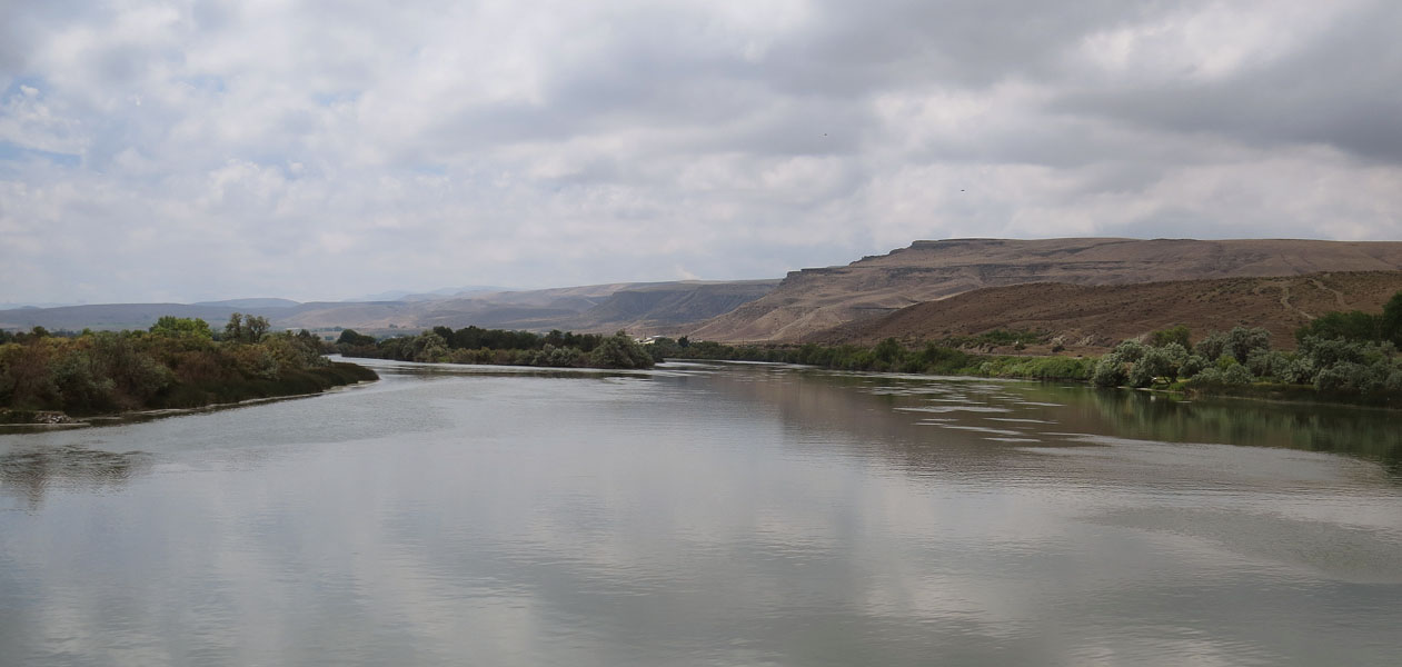
- The Snake River
-
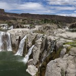
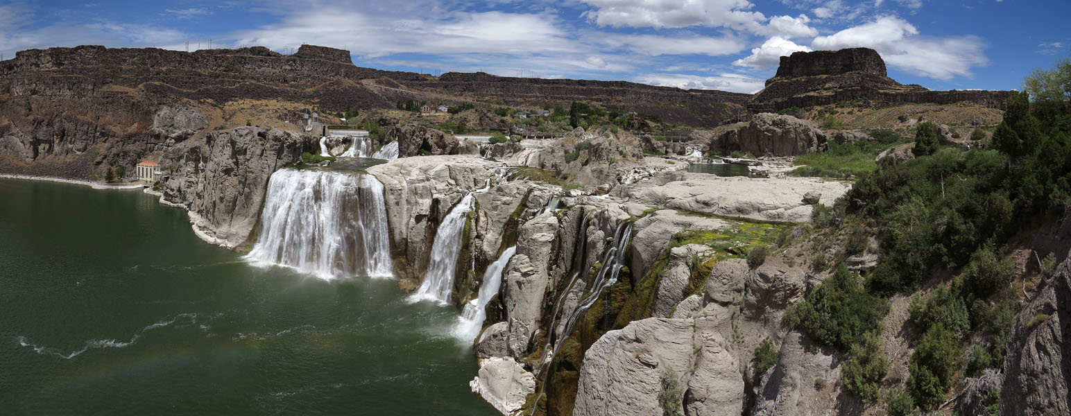
- Twin Falls, or Shoshone Falls
-
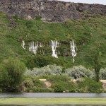
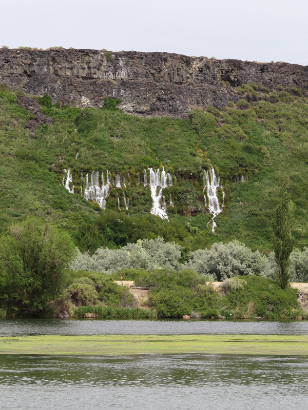
- Thousands Springs, Idaho
-
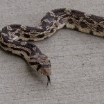
- A Bull snake, warming itself on the warm concrete at the end of the day
-
- North of Mountain Home, Idaho
-
- At Mountain Home, Idaho, I expected some cool forest, but all there was waiting for me was hot and dry desert
-
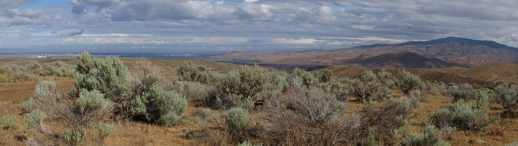
- View at Boise, Idaho
-
- The Snake River
-
- No, behind you!
-
- Stampede!
-
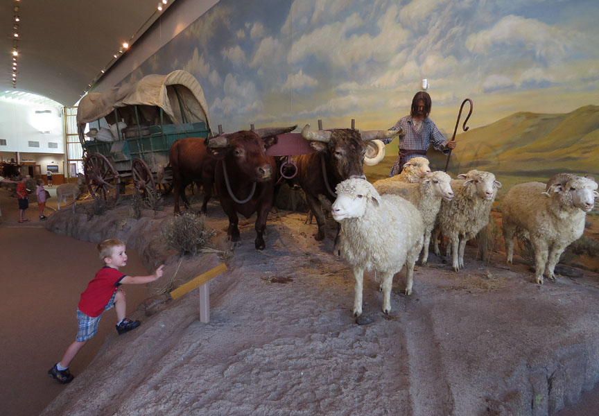
- Oregon Trail Interpretive Center in Baker City, Oregon
-
- Oregon Trail Interpretive Center in Baker City, Oregon
-
- Oregon Trail Interpretive Center in Baker City, Oregon
-
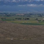
- View a the Blue Mountains from the Oregon Trail Interpretive Center in Baker City, Oregon.The white dot on the foreground is a wagon the emigrants traveled in
-
- You see some interesting things on the road
-
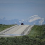
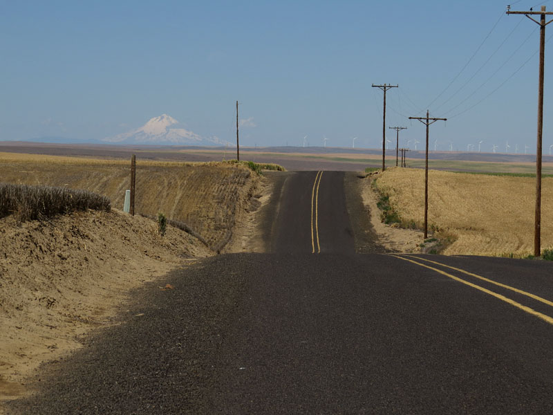
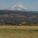
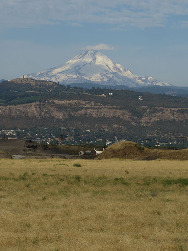
- Mount Hood on the horizon
-
- Hay Canyon, Oregon
-
- Hay Canyon, Oregon
-
- First View Monument; this is where the emigrants would have their first view of the Columbia River
-
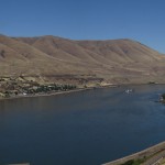
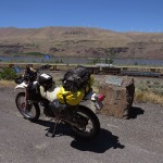
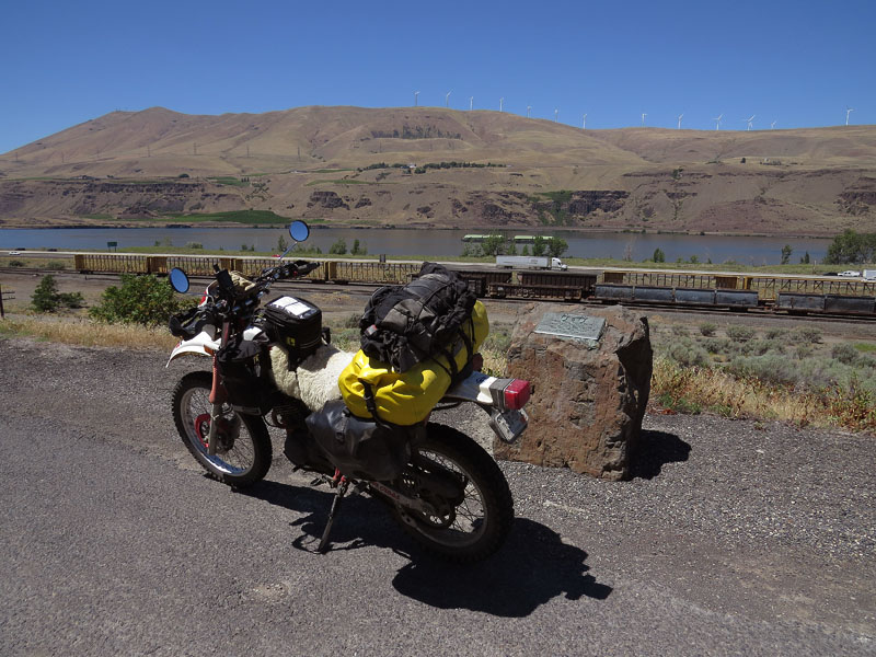
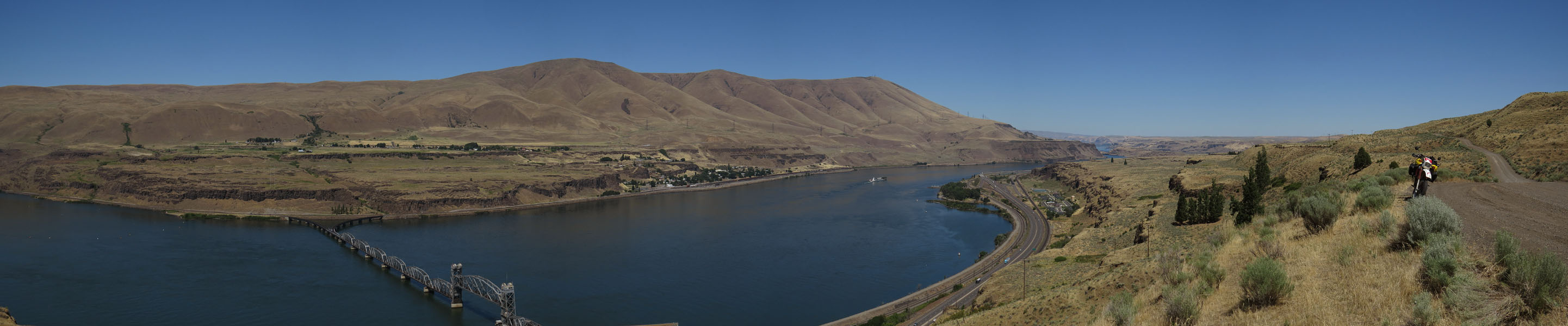
- Columbia River, Oregon
-
- Mount Doom…uh Hood!
-
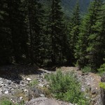
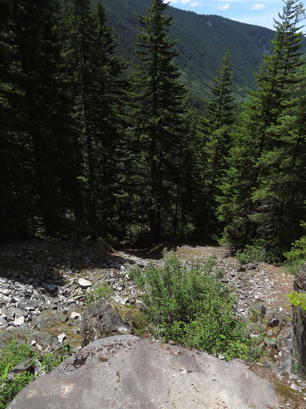
- The Old Barlow Road
-
- Barlow Road, Oregon
-
- Small detour on the Barlow Road
-
- Laurel Hill in Oregon was the most difficult descent of the entire trail, the wagons had to be lowered here with ropes
-
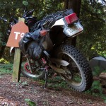
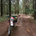
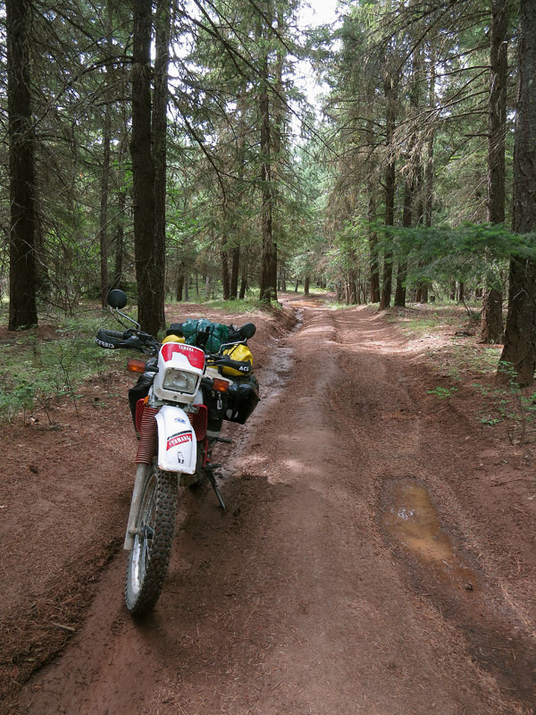
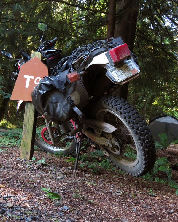
- A campsite pole is really useful when you want to lubricate your chain
-
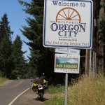
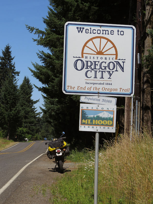
- The end of the Trail, Oregon City, Oregon
-
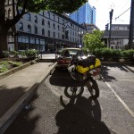
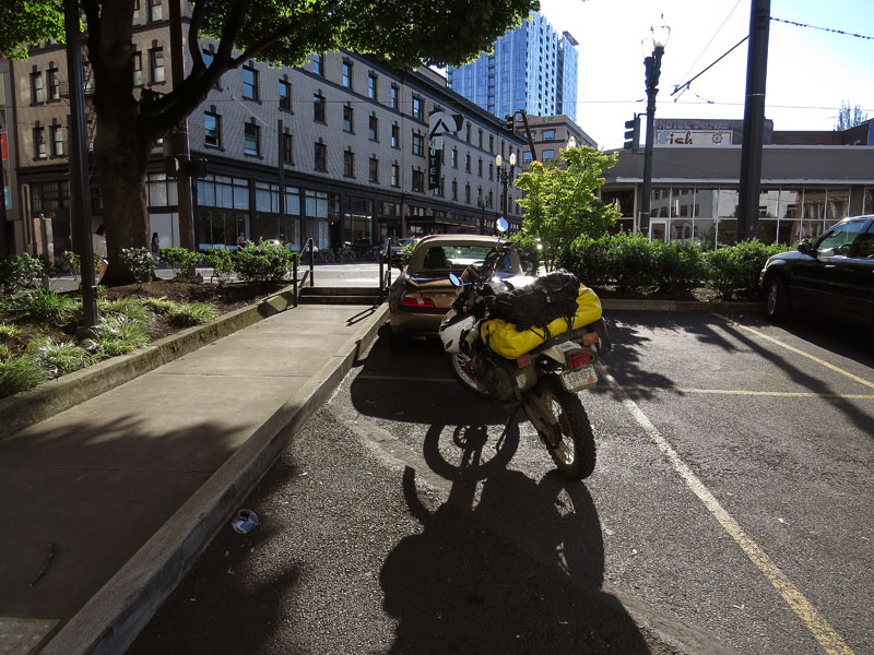
- Portland, Oregon
-
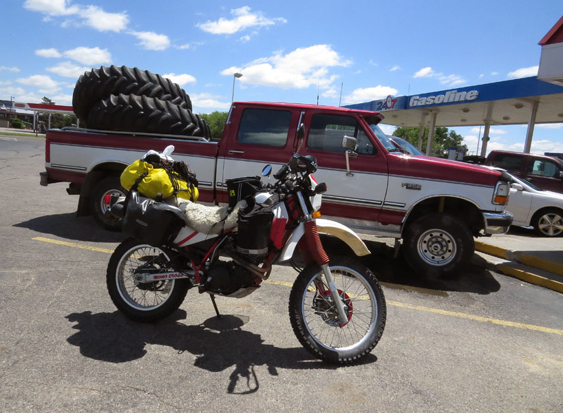
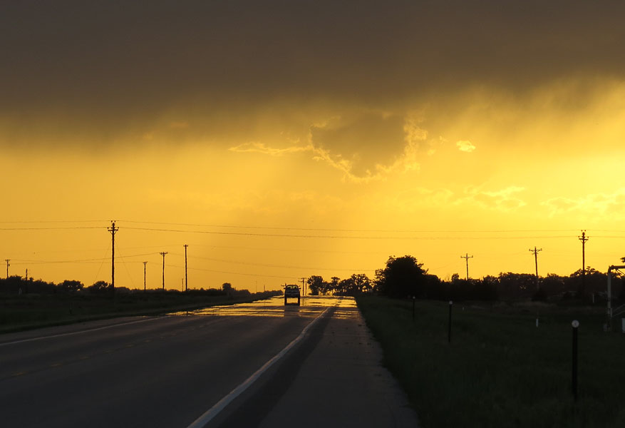
- On my way home it’s hot
-
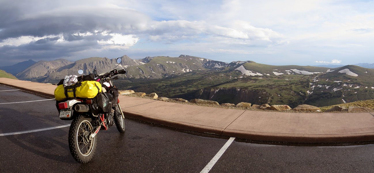
- Almost home. Our back yard, Rocky Mountains National Park